Driving the high-altitude mining track to Pereval Chon-Kokkiya
Pereval Chon-Kokkiya is a high-altitude mountain pass at an elevation of 2,790 meters (9,153 ft) above sea level, located on the international border between Kyrgyzstan and Kazakhstan. Positioned within the western Talas Range, the unpaved mountain road serves as an industrial border crossing primarily used by heavy mining trucks.
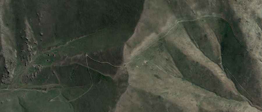
| Road facts: Pereval Chon-Kokkiya | |
|---|---|
| Location | Kyrgyzstan - Kazakhstan border |
| Elevation | 2,790 m (9,153 ft) |
| Length | 8 km (4.9 miles) from Köpürö-Bazar |
| Surface | Unpaved (Dirt and heavily corrugated mining track) |
How long is the unpaved road to Pereval Chon-Kokkiya?
The unpaved border track is approximately 8 kilometers (4.9 miles) long, climbing from the rural village of Köpürö-Bazar in the Talas Region of Kyrgyzstan up to the ridge crest line. The single-lane mountain road is an unnumbered industrial track built to connect local valleys with the gold mining extraction facilities located on the Kazakh side of the mountain pass. The entire 8-kilometer sector lacks civilian facilities or fuel stations.
What are the driving hazards on the Pereval Chon-Kokkiya track?
The primary driving hazard is the broken state of the roadbed, which is continuously crushed and rutted by high-tonnage industrial mining vehicles. The surface consists of loose stones, deeply corrugated dirt washboards, and thick layers of fine dust that drop driving visibility to zero when heavy machinery passes. The track scales steep ramps with no side guardrails or safety fences, requiring high-clearance 4x4 vehicles with reinforced tires to avoid chassis impacts on the deep ruts.
Is the Pereval Chon-Kokkiya pass open in winter?
At an altitude of 2,790 meters in the Talas mountains, the pass faces severe Central Asian freeze cycles and is completely blocked by heavy snow drifts and thick ice from November until late May, remaining impassable for standard traffic. The border track receives no civilian snowplow or maintenance services. During the brief summer operational months, sudden rainstorms turn the unpaved clay trackbed into slick mud traps that severely compromise tire traction on the incline.
Road suggested by: Hugh Wilson