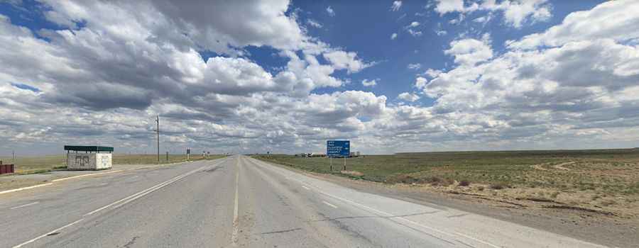
Discover Kazakhstan's M32, the Modern Silk Road
M32 is one of the main highways in Kazakhstan. It crosses the country, running from the Russian border towards the border with Kyrgyzstan. It’s a good road for those who wish to undertake a journey through the heart of the country.

How long is M32 road in Kazakhstan?
The road, also known as Aral Highway, is 2,046 km (1,271 miles) long. It runs north-south from Oral (Uralsk), a city near the Russian border, to Shymkent, the capital city of South Kazakhstan Province.
Is M32 road in Kazakhstan paved?
Part of the European Route 38, the road has been partly improved in recent years and is now mostly paved, although some sections remain unpaved and potholed. The road is broken or washed away in large sections, and the drive can take more than 40 hours due to traffic and road conditions.
Is M32 road in Kazakhstan busy?
This route is crucial for long-haul traffic between Russia and Kazakhstan. It is heavily used by trucks transporting goods between Asia and Europe. Facilities such as rest stops are scarce on this desert route.
When was the M32 road in Kazakhstan built?
The M32 was originally part of the Soviet M32 that ran from Samara to Shymkent. Despite its strategic importance to the Soviet Union, it was never modernized. The road consists mainly of poor-quality asphalt slabs and lacks lane markings, delineators, and lighting, making it dangerous for night driving. It offers a scenic but remote drive.
Pic: Kovács Tibor