The ultimate guide to the Tateyama Kurobe Alpine Route, the roof of Japan
The Tateyama Kurobe Alpine Route is one of the world's most spectacular drives. Located on the boundary between Toyama and Nagano prefectures in Japan, driving this route is a great experience.
How long is the Tateyama Kurobe Alpine Route?
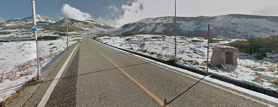
The Tateyama Kurobe Alpine Route is 37 kilometers (23 miles) long, running through the Tateyama Mountain Range in the Northern Japan Alps. It links Toyama City in Toyama Prefecture and Omachi Town in Nagano Prefecture. It tops out at 2,450 meters (8,038 feet) above sea level.
Is the Tateyama Kurobe Alpine Route open year-round?
No, the route is closed from December to mid-April due to heavy snowfall. When it reopens in mid-May, travelers can see the high snow walls, which can reach up to 15 meters. Murodo-daira, along the route, gets an average of seven meters of snow. The Otani snow area can accumulate up to 20 meters, forming the snow walls.
When did the Tateyama Kurobe Alpine Route open?
The route officially opened on June 1, 1971. Private vehicles are not allowed between Tateyama Station and Ogizawa, making it a popular tourist attraction with about a million visitors each year. The highest point on the route is Murodo Station, at an altitude of 2,450 meters (8,038 feet).
Is the Tateyama Kurobe Alpine Route worth visiting?
Yes, it is worth visiting. Known as the "Roof of Japan," the route offers clear views of Mt. Fuji from the summit on clear days. The Tateyama Mountain Range, part of the Chubu Sangaku National Park, is the main attraction. The snow walls are a highlight. In summer and autumn, the route offers changing scenery with flowers and autumn leaves.