Kuhe Haji Ebrahim: The military road through the Qandil Mountains
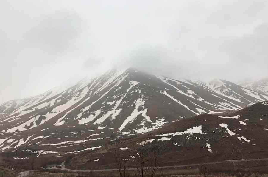
Reaching an elevation of 3,568m (11,706ft) above sea level, Kuhe Haji Ebrahim is a prominent high mountain peak located directly on the volatile border between western Iran and eastern Iraq. This summit is part of the strategic landscape of the Zagros range, where geography and military tension intersect at high altitude.
| Road facts: Kuhe Haji Ebrahim | |
|---|---|
| Location | Iran-Iraq Border (Zagros Mountains) |
| Elevation | 3,568 m (11,706 ft) |
| Length | ~30 km (18.6 miles) |
| Road Type | Unpaved / Military Track |
| Hazard Level | Extreme (Land mines & Military zone) |
Where is Kuhe Haji Ebrahim?
The peak is strategically located on the international boundary, linking the northern Erbil Province of Iraq with the West Azerbaijan Province of Iran. It is situated within the Qandil Mountains, a rugged subrange of the Zagros Mountains known for its inaccessible terrain and its history of being a stronghold for various paramilitary groups. The peak serves as a natural watchtower over the border areas of Pishdar, Choman, and Sidakan.
Who built the road to Kuhe Haji Ebrahim?
The road to the summit was recently engineered and built by the Iranian army. The primary purpose of this massive construction project was to establish a permanent military base at the summit, which is now heavily fortified and fenced with barbed wire. Starting from Gardim Khaneh, the road stretches for approximately 30 km. It is totally unpaved and consists of raw, loose rock carved directly into the steep mountainside. This is just one of several similar military roads built in the region to support a growing network of Iranian outposts along the frontier.
How dangerous is driving to Kuhe Haji Ebrahim?
Driving to Kuhe Haji Ebrahim is extremely dangerous and should be avoided at all costs. The region is a high-security military zone where unauthorized visitors are not tolerated. Beyond the tactical risks, the most lethal hazard is the presence of land mines on the approach and the surrounding slopes, a legacy of long-standing border conflicts. The road itself is extremely steep, with ramps that challenge the traction of even the most advanced 4x4 vehicles.
Iraqi officials have raised concerns about the expansion of these military roads, noting that Iran has built dozens of similar outposts in the surrounding border districts. This region sees no civilian visitors or tourists; it is a sensitive area where being caught without official military clearance can lead to immediate detention. Between the treacherous unpaved gradients, the constant threat of unexploded ordnance, and the heavy military presence, Kuhe Haji Ebrahim remains one of the most forbidden drives in the Middle East.
Road suggested by: Hugh Wilson
Pic: Mashal Sadiq