Mount Damavand: Driving the 3,000m Base Camp Track in the Alborz Range
Reaching an elevation of 3,025m (9,924ft) above sea level, the southern access track to Mount Damāvand is one of the highest roads in Iran. Located in Amol County, Mazandaran Province, this stratovolcano is the highest peak in the Middle East, and its lower slopes are crisscrossed by technical service roads used by mountaineers and local logistics teams.
| Road facts: Mount Damavand (South Track) | |
|---|---|
| Location | Mazandaran Province, Iran |
| Max Elevation | 3,025 m (9,924 ft) |
| Length | 19.8 km (12.3 miles) |
| Elevation Gain | 815 meters |
| Surface | Unpaved / Gravel and Loose Dirt |
How is the road to the Damavand base camp?
The drive starts in the village of Polur and covers 19.8 km (12.3 miles) to reach the Sahebazzaman Mosque (Gusfand Sara), which serves as the base camp for trekkers. The road is entirely unpaved and consists of heavily corrugated gravel and loose volcanic soil. While the average gradient is a moderate 4.11%, the track is notoriously bumpy and experiences high traffic during the summer months. Local 4x4 taxis operate constantly on this route, creating massive dust clouds that significantly reduce visibility. A high-clearance 4x4 is strongly recommended to handle the deep ruts and rocky sections.
Is the road to Damavand open in winter?
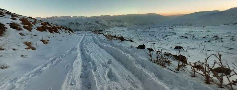
Situated in the central part of the Alborz Mountain range, the road is typically blocked by heavy snow from late October until May. At over 3,000 meters, winter conditions are extreme, with sub-zero temperatures and high winds that create impassable snowdrifts. Even in the late spring, the melting snow turns the volcanic ash into a thick mud that can trap vehicles without professional off-road tires. The best window for transit is from July to September when the ground is dry.
What are the main hazards on the Polur route?
The primary hazards are traffic congestion and respiratory issues due to the high levels of suspended volcanic dust. The road is narrow in several sections, and meeting oncoming transport vehicles often requires reversing on loose slopes. There are no safety barriers along the shelf sections. Additionally, the elevation change of 815 meters in thin air can cause engine power loss; drivers should monitor their temperature gauges, as the combination of low speed, high RPMs, and thin air can lead to overheating during the summer heat.
How to get ready to drive the road to Damavand
Before leaving Polur, ensure you have a full tank of fuel, as there are no services or repair shops once you begin the ascent. The parking lot at 3,025m is the final point for motorized vehicles. Mobile signal is generally available but can be blocked by the massive volcano walls. Ensure your air filters are clean before and after the trip, as the fine volcanic dust is highly abrasive. Due to the high number of trekkers on the road, drivers must exercise extreme caution to avoid pedestrians in the dust clouds.
Pic: Arek Pawłowski