Driving the scenic but intense Hormuz Island Loop Road
The Hormuz Island Loop Road is a coastal route that circles Hormuz Island, located in the Strait of Hormuz within the Persian Gulf, southern Iran. The 20-kilometer paved road links the main settlement on the north end with the mineral beaches and salt formations along the perimeter of the island.
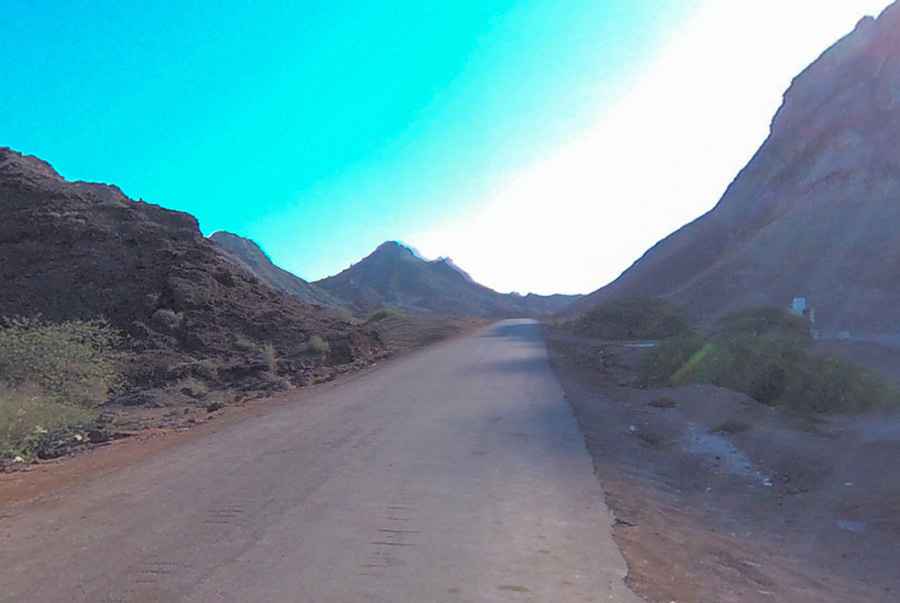
| Road facts: Hormuz Island Loop Road | |
|---|---|
| Location | Hormuz Island, Hormozgan Province (Iran) |
| Length | 20 km (12.4 miles) |
| Surface | Paved (Narrow with unpaved shoulders) |
| Primary Hazards | High temperatures, salt dust, and soft road shoulders |
Where is the Hormuz Island Loop Road located?
The road follows the coastline of Hormuz Island, starting and ending at the main port town on the northern tip. It runs past coastal salt domes, red soil deposits, and open beaches along the Persian Gulf.
What are the driving conditions around Hormuz Island?
The 20-kilometer loop consists of a single-lane paved surface. While smooth near the town, sections along the southern coast accumulate windblown sand, salt, and fine mineral dust. The road lacks paved shoulders, featuring soft sand along the edges that requires careful positioning when passing oncoming motor-taxis or service vehicles.
What hazards exist on the Hormuz Island Loop Road?
Extreme summer heat exceeding 45°C (113°F) puts high demand on vehicle cooling systems during slow-speed driving. Fine red dust from the island's soil clogs air filters quickly, while high salinity along the oceanfront accelerates chassis corrosion. There are no gas stations or mechanical services along the 20-kilometer loop outside the main village.
Is the Hormuz Island Loop Road open year-round?
The road remains open year-round, though summer heat makes driving conditions severe. Winter and spring months bring milder temperatures. Sudden coastal rainstorms can wash salt debris and sand across low-lying coastal sections of the asphalt.
Pic: ZigZag MTB com