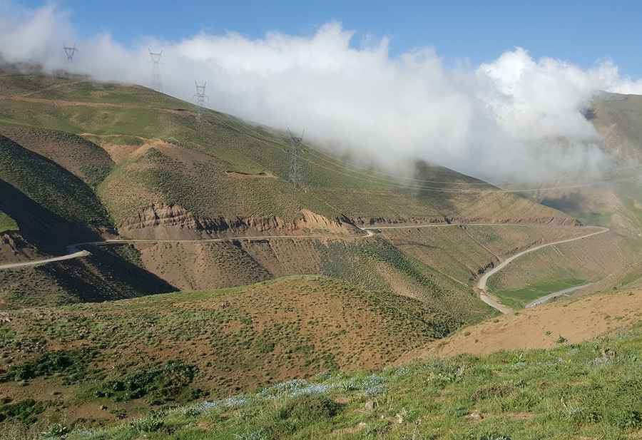
Driving the high mountain road to Kandovan Pass in Iran
Kandovan Pass is a high mountain pass at an elevation of 2,989m (9,806ft) above sea level, located on boundary between Alborz and Mazandaran provinces in Iran. It's one of the highest roads in the country.
How long is Kandovan Pass?
Running through the Central Alborz mountain range, the road to the pass, commonly referred to as Kandevān Pass, is 12.1 km (7.51 miles) long.
Is Kandovan Pass unpaved?
Though mainly unpaved, it's accessible to most passenger vehicles. The drive offers stunning views between the Karaj and Chālūs rivers.
Is Kandovan Pass challenging?
Situated in Iran's northwestern region, the road presents a challenging drive, with some parts hitting an 8% of maximum gradient through some of the ramps. It features countless turns and narrow parts.
Is Kandovan Pass open?
At this elevation, the road is usually impassable from late October to late June or early July due to weather conditions.
The Kandovan Tunnel Story
Due its difficult geography, the pass was bypassed by the infamous Kandovan Tunnel, an integral segment of the Chalus Road, ranking among Iran's most frequented roads. It was built between 1935 and 1939.
Pic: mohammad ali Dabbaghchian