How to get to the summit of Tochal Peak?
Mount Tochal is a high mountain peak at an elevation of 3,966m (13,011ft) above sea level, located in Iran. It’s one of the highest roads in the country.
Where is Mount Tochal?
The peak is located north of Tehran, on the boundary between Tehran and Alborz provinces, in the northern part of the country.
Why is Mount Tochal Important?
The peak, Sar Tochal, is the highest point near Iran's capital. Tochal is also the name of a ski resort located on the mountain. The peak's persistent snow cover for nine months of the year allows for this resort. Established in 1975 with the ambition of becoming one of the world's largest, the Tochal Ski Resort now primarily operates during the colder seasons. Tochal Mountain also offers a unique lodging experience: Tochal Hotel. Situated at an altitude of over 3,500 meters, the hotel provides stunning views of the often-snowy mountain. However, due to the altitude, accommodation is restricted for those under 8 or over 55, pregnant women, and individuals with cardiovascular, pulmonary, hypertensive, or diabetic conditions.
Is Mount Tochal Worth It?
Sar Tochal, the highest peak near Iran's capital, is prominently visible from anywhere in Tehran on clear days, enhancing the city's scenery. Its southern slopes offer expansive views of Tehran, and the peak itself provides a clear sightline to Mount Damavand.
Is the Road to Mount Tochal Unpaved?
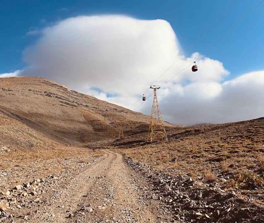
The road to the summit is a chairlift access road, totally unpaved, and very rough. Only bikes and very equipped 4x4 vehicles are able to reach the summit, as the trail is very rocky, and the steepness makes it impossible for other kinds of vehicles.
How Long is the Road to Mount Tochal?
The road is 17.6 km (10.93 miles) long, starting from Shahrestanak. Over this distance, the elevation gain is 1,788 m and the average gradient is 10.15%.
Is the Road to Mount Tochal Open in Winter?
Set high in the Alborz mountain range, the road is totally impassable in winters, and just snow-free for 3 months in summers. On the peak, it's quite windy because of the altitude, so make sure you are equipped.
Road suggested by: Hugh Wilson
Pic: helia yavarpour