Driving the defiant road to Atash Sang Peak
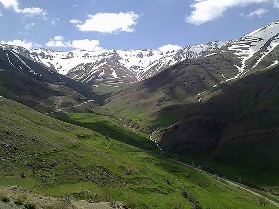
Atash Sang Peak is a high mountain peak at an elevation of 3,460 meters (11,351 ft) above sea level on the border between Alborz and Mazandaran provinces, Iran. Located east of Kandovan Pass in the Alborz mountain range, the unpaved track ranks among the highest roads of Iran, connecting Pol-e Zanguleh with the high summit ridge.
| Road facts: Atash Sang Peak | |
|---|---|
| Location | Alborz / Mazandaran Province (Iran) |
| Elevation | 3,460 m (11,351 ft) |
| Length | 23.49 km (14.6 miles) from Pol-e Zanguleh |
| Surface | Unpaved earth, loose gravel, and slate track |
| Vehicle Requirement | High-clearance 4WD mandatory |
| Key Hazards | Tight hairpin switchbacks, unshielded drop-offs, winter snowpack |
Where is Atash Sang Peak located?
The peak sits along the high crest dividing the Alborz and Mazandaran provinces in northern Iran. The track branches off near Pol-e Zanguleh along the Chalus Road corridor and climbs east into the central Alborz highlands.
Is the road to Atash Sang Peak unpaved?
Yes. The entire 23.49-kilometer ascent is completely unpaved, consisting of dry earth, loose stone, and shale. The upper section features a tight succession of hairpin turns cut into steep slopes without guardrails or outer protective barriers. A high-clearance 4x4 vehicle is required to manage the loose surface traction and steep inclines.
How long is the road to Atash Sang Peak?
Starting from the road junction at Pol-e Zanguleh, the unpaved track to the 3,460-meter summit measures 23.49 kilometers (14.6 miles). Navigating the continuous switchbacks and loose rock ramps takes nearly two hours of low-range driving.
Pic: Ezzat Rahmani