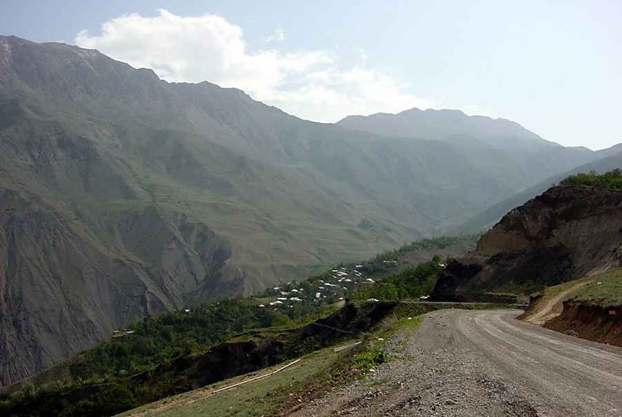
A wild unpaved road to Lal Haz Peak
Lal Haz Peak is a high mountain pass at an elevation of 3,375m (11,072ft) above sea level, located in Amol County of Mazandaran Province, Iran. It’s one of the highest roads in the country.

Where is Lal Haz Peak?
Set high in the northern part of the country, the road through the pass is really scenic, running through nomadic villages and high mountain peaks.
Is the road to Lal Haz Peak unpaved?
The road through the pass is totally unpaved. A 4x4 vehicle is required.
How long is the road through Lal Haz Peak?
The road through the pass is 35km (21.7 miles) long, running west-east from Haft Tanan (a village in Larijan-e Sofla Rural District, Larijan District) to Kherem, also known as Khorram (a village in Chelav Rural District, in the Central District).
Pic: alireza javaheri