How to get by car to Tang-e Galu Pass on the way to Alam-Kuh?
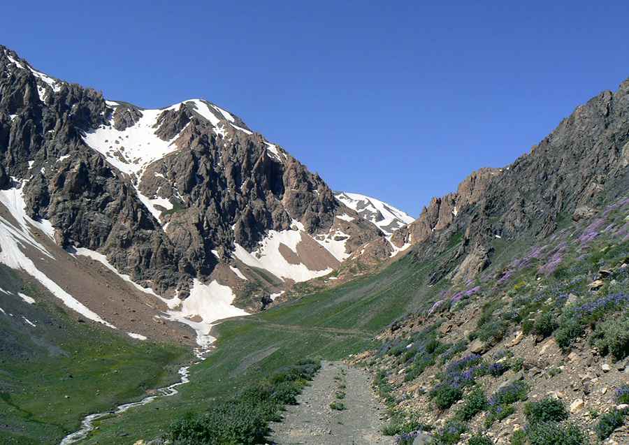
Tang-e Galu is a high mountain pass at an elevation of 3,376m (11,076ft) above sea level, located in Kelardasht-e Gharbi Rural District, Kelardasht District, Chalus County of Iran. The pass is known for its steep and winding road. It’s one of the highest roads in the country.
Where is Tang-e Galu Pass?
The pass is located to the east of Alam-Kuh, the second highest mountain in the country, in Mazandaran Province, in the northern part of the country.
Why is Tang-e Galu Pass famous?
The road to the pass is traditionally used by climbers on the way to Alam-Kuh. The pass, known for its scenic views of the surrounding mountains and forests, has been featured in several movies and is also a popular tourist destination.
Is the road to Tang-e Galu Pass unpaved?
The road to the summit is totally unpaved, and a 4x4 vehicle is vital. It’s very steep and winding, with many narrow parts and several drops.
How long is the road to Tang-e Galu Pass?
Starting from Vandarbon, the road to the pass is 12.3km (7.64 miles) long. Over this distance, the elevation gain is 1,190m and the average gradient is 9.67%.
Pic: Adam Bilinski