Ashkourat Pass: Driving the rugged 3,000m ridge of the Alborz Mountains
Ashkourat Pass is a high mountain pass at an elevation of 3,076 meters (10,091 ft) above sea level in Ramsar County, Mazandaran Province, Iran. Located in the Alborz mountain range, the unpaved ridge route ranks among the highest roads of Iran, connecting Kit with Sormoshk.
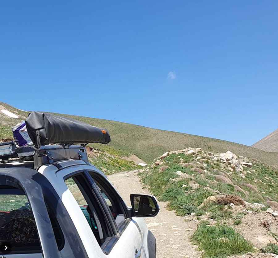
| Road facts: Ashkourat Pass | |
|---|---|
| Location | Ramsar County, Mazandaran (Iran) |
| Elevation | 3,076 m (10,091 ft) |
| Length | 53 km (33 miles) between Kit and Sormoshk |
| Surface | Unpaved gravel, earth, and loose shale track |
| Vehicle Requirement | High-clearance 4WD with low-range gearbox |
| Key Hazards | Unshielded precipices, dense Caspian fog, single-lane bottlenecks |
Where is Ashkourat Pass located?
The pass sits in the Central District of Ramsar County, traversing the high ridges of the Alborz mountain range in northern Iran. The track forms an inland mountain link between the village of Kit (Eshkevar Rural District) and Sormoshk (Jennat Rudbar Rural District).
Is the road over Ashkourat Pass paved?
No. The entire 53-kilometer route is completely unpaved, consisting of a mix of loose gravel, large stones, and rutted earth. The track features narrow single-lane sectors cut into steep slopes without guardrails or outer shoulder buffers, requiring high ground clearance and 4WD low-range capability.
What hazards exist when driving Ashkourat Pass?
The main physical hazards are dense sea fog moving rapidly from the Caspian coast that reduces visibility, unshielded drop-offs along narrow shelf sectors, and clay mud formation during summer rainstorms. Heavy snow accumulation closes the 3,076-meter pass from late autumn through late spring.
How long is the drive over Ashkourat Pass?
The unpaved mountain track spans 53 kilometers (33 miles) between Kit and Sormoshk. Navigating the continuous switchbacks, steep gradients, and narrow passing turnouts takes over 3 hours of driving time.
Pic: Hosein Falahpoor