Travel guide to the top of Gyu La
Gyu La is a high mountain pass at an elevation of 4.550m (14,927ft) above the sea level, located in northern India’s Jammu and Kashmir state.
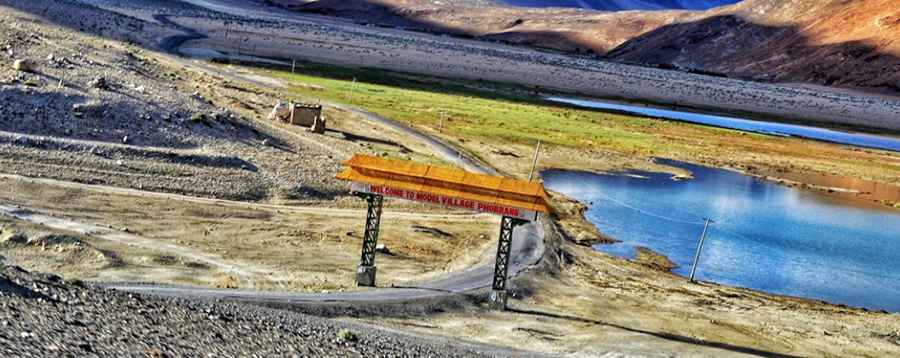
Set high in the Chang-Chemno mountain range, the road to the summit is paved. It’s called Lukumg-Phobrang-Chartse Road. It’s 77.5 kilometre (48.15 miles) long.
Its many twists, turns and narrows can pose a challenge to even the most experienced drivers. This route is not recommended if your passengers are prone to car sickness. The road is steep in parts, hitting a 6% of maximum gradient through some of the ramps. The high elevation with its risk of altitude sickness, weather concerns, steep road grade and overall inaccessibility make the travel dangerous and difficult.
Pic: Pic: M Yasi