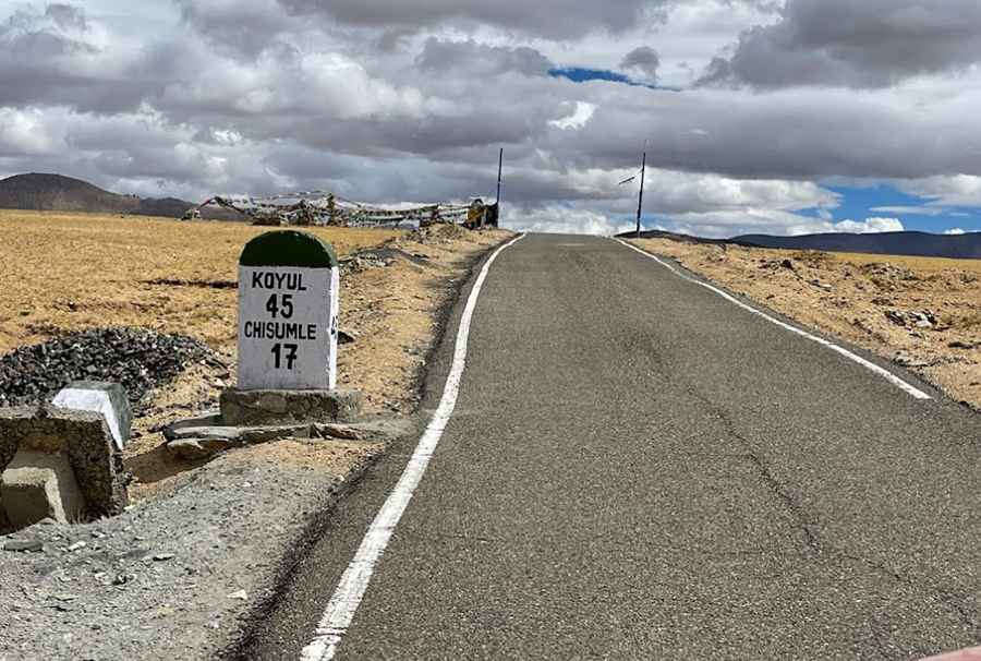
A paved road to the summit of Nurbula Top
Nurbula Top is a high mountain pass at an elevation of 5,310m (17,421ft) above sea level, located in the Leh District of Jammu and Kashmir, India. It’s one of the highest roads in the country.
Is the road to Nurbula Top paved?
Set high in the northern part of the country, the road to the summit, also known as Boizardin La /Nurbu La /Norbu La, was recently paved.
Why was the road to Nurbula Top built?
It's a military road usually closed to foreigners. This strategic road was constructed as part of the Indian Army's drive to provide faster connectivity to the sensitive Demchok zone. It assumes great strategic significance in consideration of recent disputes with the Chinese military and advances being made by them along the Indo-Chinese border.
How long is the road to Nurbula Top?
The pass is 84.1 km long, running north-south from Loma Bridge (to the north of Rhongo) to Ukdungle, a small Indian Army military compound. Temperatures here in the winter are brutally cold, plummeting as low as -40°C. The weather deteriorates frequently with strong icy winds.
Pic: Ramesh Tahlan