Thato La is by no means an easy road
Thato La is a high mountain pass at an elevation of 5,090m (16,699ft) above sea level, located in Ladakh, in the state of Jammu and Kashmir in India.
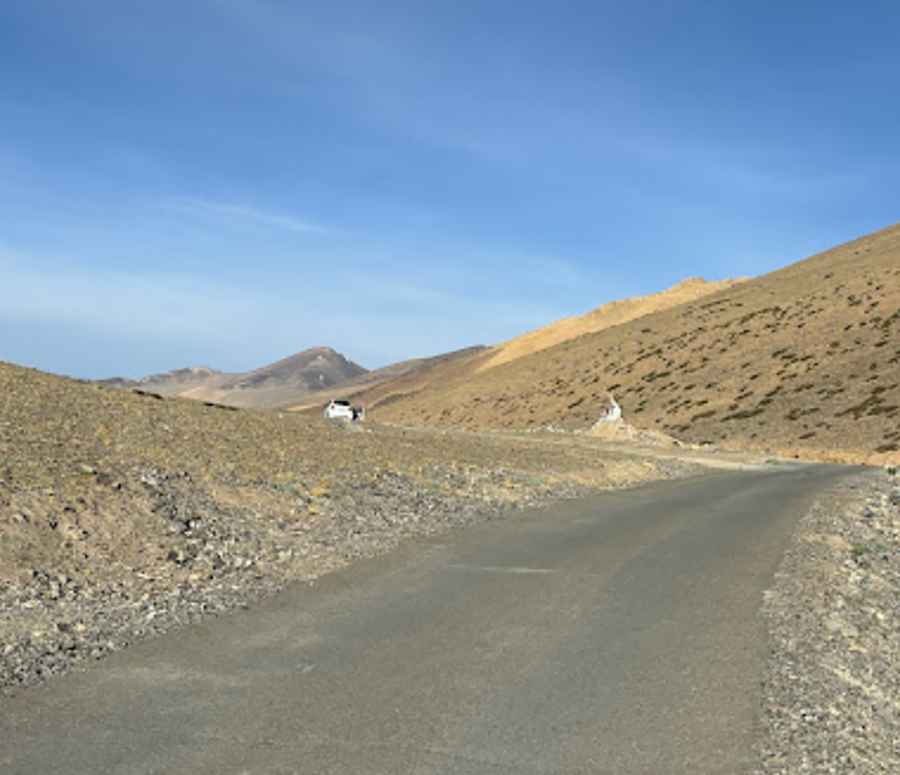
Is the road to Thato La paved?
The road to the summit, also known as Satatho La, is challenging. It has hundreds of turns and sharp hairpin turns. It was fully paved in 2022. Before, locals called it 'hell' due to its brutal turns on a gravel surface. Today, the gravel is gone, but the turns remain, so the drive is still not easy.
Can I drive to Thato La?
Set high in the northern part of the country, near the Line of Actual Control with China, the road is usually impassable in winter. The weather can be extreme, and the cold wind hits like a knife. Located to the north of Kaksang La, expect small landslides, with rocks lying here and there. This completely isolated road is rarely used and carved into the mountain ranges. It’s one of the highest mountain passes foreign drivers can reach in the country. You can access it with just the regular Protected Area Pass/ILP. No other permits are required.
How long is the road to Thato La?
Situated in the Changthang region, the road is 67.2 km (41.75 miles) long, running north-south from Chushul to Mahe.
Is the road to Thato La worth the drive?
Located to the north of Mirpal Tso lake, the drive is very scenic, with picturesque views of beautiful lakes, mountains, and valleys.
Road suggested by: Hugh Wilson
Pic: Nawang Zangpo