Driving the wild unpaved road to Tsaka La in the Himalayas
Tsaka La is a high mountain pass at an elevation of 4,646 m (15,242 ft) above sea level, located in Ladakh, India.
Where is Tsaka La?
The pass, also written Tsaga La, is located in Leh district, in far northern India. Near the summit, there’s a helipad. It is located in a very remote, high-altitude zone on the Changthang plateau, one of the least populated regions of the country.
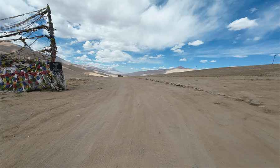
Is Tsaka La unpaved?
The road through the pass is totally unpaved. It’s called Tsaka La Road. A 4x4 vehicle is recommended, especially after rains or snow.
How long is Tsaka La?
The road is 55 km (34 miles) long, running north-south from Chushul to Thangra. It is heavily used by military trucks, due to its location near the Line of Actual Control with China.
Is Tsaka La open year-round?
Set high in the Himalayas, the winter conditions are extremely harsh, and it’s usually impassable from November to June.
Pic: Discover India by road