Navigating the historic road to Pangsau Pass built during WWII
Pangsau Pass is an international mountain pass at an elevation of 1.136m (3,727ft) above sea level, located on the crest of the Patkai Hills on the India-Burma (Myanmar) border.
Why is it called Pangsau Pass?
The pass is named after the nearby Burmese village, Pangsau, located just 2 km east of the pass.
When was the road to Pangsau Pass built?
Built during World War II, U.S. Army Engineers collaborated with local labor to construct the road through the pass. Construction began on December 16, 1942, and the pass officially opened on May 20, 1945.
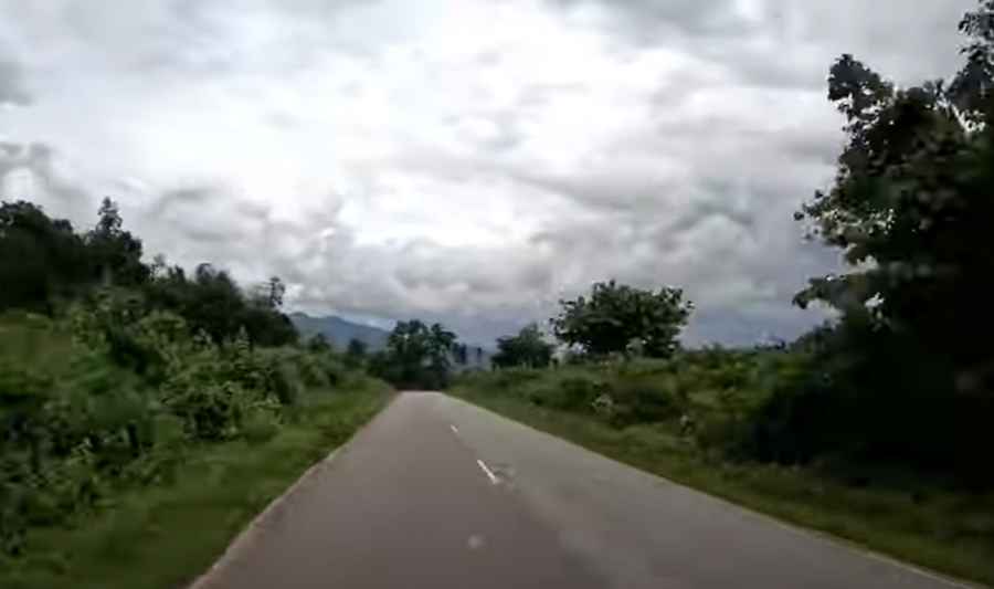
Is the road to Pangsau Pass paved?
The road to the summit is mostly paved. It’s called Stilwell Road or Ledo Road.
How long is Pangsau Pass?
The pass is 17.4 km (10.81 miles) long, running north to south from Nampong in the Indian state of Arunachal Pradesh to Pansaung in Myanmar (Burma).
How challenging is Pangsau Pass?
The road is very winding and has a gentle climb.
Pic&video: Ronny Roamer