Lapthal La: Driving the high mountain pass to Lapthal in Uttarakhand
Lapthal La is a high mountain pass reaching an elevation of 4,595 meters (15,075 ft) above sea level in the Chamoli district of Uttarakhand, India. Positioned along the newly developed Sumna-Lapthal-Topidunga road corridor, the unpaved route was constructed by the Border Roads Organisation (BRO) to connect isolated military outposts near the Tibet border.
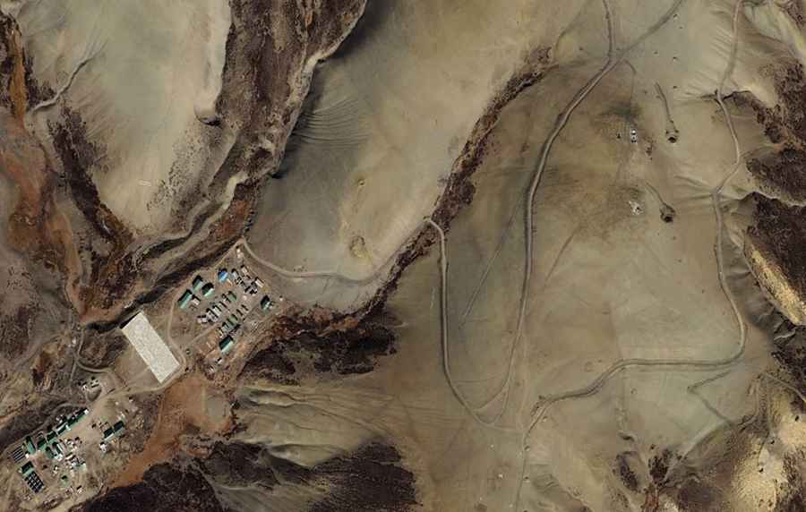
| Road facts: Lapthal La | |
|---|---|
| Location | Chamoli District, Uttarakhand (India) |
| Coordinates | 30°44'42.8"N 80°07'10.2"E |
| Elevation | 4,595 m (15,075 ft) |
| Corridor Name | Sumna-Lapthal-Topidunga Road |
| Surface | Unpaved gravel, broken stone, and crushed rock |
| Access Restriction | Restricted military zone (Closed to foreign tourists) |
| Key Hazards | Extreme climate, steep gradients, unshielded shelf drops, winter isolation |
Where is Lapthal La located?
The pass is situated in the high-altitude desert region of eastern Chamoli, running east from Sumna along the Kio Gad river valley. The road climbs over Lapthal La (4,595 m) before descending toward the military outpost at Lapthal, located at coordinates 30°44'42.8"N 80°07'10.2"E.
Is the road over Lapthal La paved?
No. The Sumna-Lapthal route consists of a newly opened unpaved track built over rough gravel, crushed rock, and shale bedrock. High-clearance 4x4 military vehicles are required to navigate the steep climbs, loose surface soil, and narrow shelf-road sections carved into the mountainside.
Why was the road to Lapthal La built?
The road was engineered by the Border Roads Organisation (BRO) to establish forward vehicular connectivity to remote Indo-Tibetan Border Police (ITBP) and Indian Army posts. Prior to the completion of this road track, supplies to Lapthal relied exclusively on foot travel and air drops.
What hazards exist on the road to Lapthal La?
The primary physical hazards are severe oxygen depletion at 4,595 meters, sudden snowstorms, and active scree slides along the Kio Gad valley. Heavy winter snowpack blocks the high pass for several months each year, cutting off ground transit until BRO snow-clearing operations commence in late spring.
Road suggested by: Hugh Wilson