Rimkhim Pass: Driving the high military road in Uttarakhand
Rimkhim Pass (also known as Rimkim Pass) is a high mountain pass reaching an elevation of 4,431 meters (14,537 ft) above sea level in the Chamoli district of Uttarakhand, India. Located in the Hoti Valley near the Line of Actual Control (LAC) with China, the unpaved track branches north from Sumna and is maintained by the Border Roads Organisation (BRO) for military defense operations.
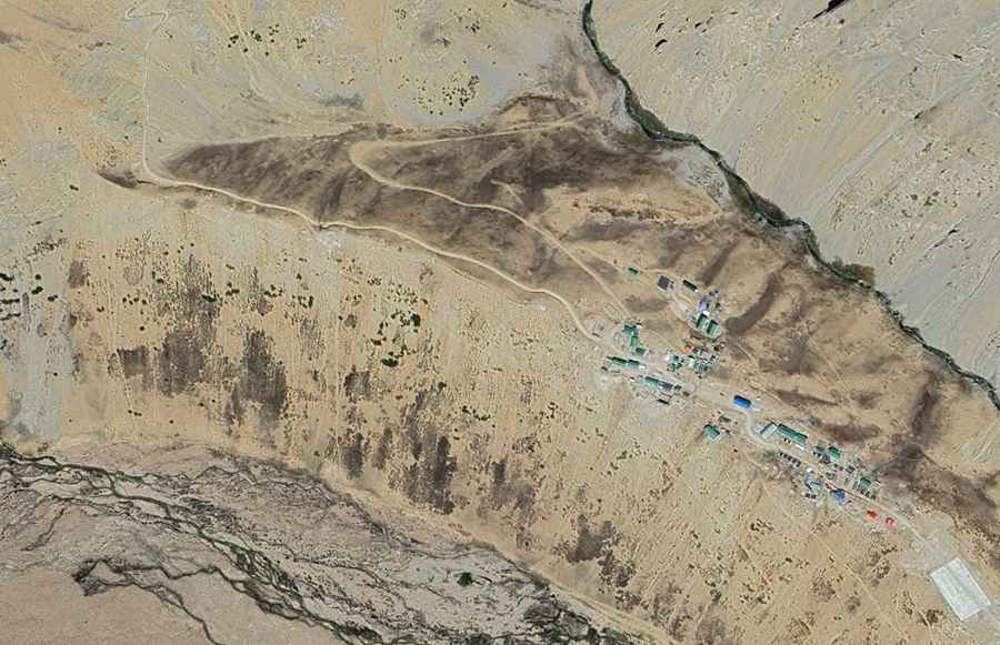
| Road facts: Rimkhim Pass | |
|---|---|
| Location | Hoti Valley, Chamoli District, Uttarakhand (India) |
| Coordinates | 30.826194, 79.970750 |
| Pass Elevation | 4,431 m (14,537 ft) |
| Peak Track Extension | Up to 4,786 m (15,702 ft) at upper military helipad |
| Surface | Unpaved crushed rock, scree, and shale earth |
| Access Restriction | Restricted military border zone (Closed to civilian/foreign traffic) |
| Key Hazards | Low atmospheric oxygen, unshielded mountain drops, severe winter snowpack |
Where is Rimkhim Pass located?
The pass is situated in the Garhwal Himalayas of northern Uttarakhand. Approached via the Girthi Dobala valley road, the track splits at the Sumna military post and heads north along the Barahoti / Hoti Valley, terminating near the border post at coordinates 30.826194, 79.970750.
Is the road to Rimkhim Pass paved?
No. The entire climb from Sumna to the pass is unpaved, consisting of loose shale, scree, and riverbed gravel. Built exclusively for military supply convoys, the single-lane road features sharp hairpin turnouts, steep incline ramps, and continuous unshielded cliff edges.
Can civilians drive to Rimkhim Pass?
No. Due to ongoing border sensitivities along the Line of Actual Control, the entire Hoti Valley corridor is a high-security military zone. Access is limited strictly to Indian Armed Forces personnel, with civilian entry forbidden and foreign travelers banned entirely.
How high does the track at Rimkhim Pass go?
While the main geographical saddle of Rimkhim Pass sits at 4,431 meters (14,537 ft), an unpaved military spur continues climbing the adjacent ridge to reach a high altitude of approximately 4,786 meters (15,702 ft) at an army outpost helipad.
Road suggested by: Hugh Wilson