How to reach the 5,676m summit of Black Top?
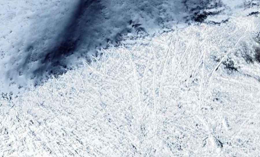
Black Top is an extreme high-altitude mountain pass reaching an elevation of 5,676m (18,622ft) above sea level. Located in the sensitive border region between India and China, it stands as one of the highest mountain passes of India. The road to the summit is a minor gravel track that branches off from the Chuti Chang La pass. Logistically, this 4.5 km spur represents one of the most aggressive climbs on Earth, requiring specialized oxygen-enrichment protocols for personnel and heavy-duty mechanical preparation for vehicles.
| Road facts: Black Top | |
|---|---|
| Location | West of Chuti Chang La (LAC) |
| Elevation | 5,676 m (18,622 ft) |
| Average Gradient | 13.31% |
| Length | 4.5 km (2.8 miles) |
| Hairpin Turns | 75 switchbacks |
What are the driving logistics for the 75 hairpins of Black Top?
Navigating the 4.5 km climb to Black Top requires managing 75 hairpin turns in a very short distance. This equates to one switchback every 60 meters on average. Logistically, this puts an extreme load on the vehicle's steering rack and differential locks. To maintain traction on the 13.31% gradient, drivers must utilize a constant-throttle technique to prevent the tires from digging into the loose gravel. The technical difficulty is compounded by the narrowness of the track, where any deviation from the optimal line can lead to a traction stall, making a hill-start nearly impossible at 5,676 meters due to the lack of engine torque.
How does the 5,676m altitude impact vehicle mechanics on Black Top?
At an elevation of 5,676 meters, oxygen levels are less than half of those at sea level. For the 4.5 km ascent from Chuti Chang La, the engine's power output is severely compromised. Logistically, turbocharged diesel engines are the only viable option, though they face a high risk of "turbo surge" or over-speeding while trying to compensate for the thin air. The cooling system's efficiency is also at its lowest technical limit. It is mandatory to monitor exhaust gas temperatures (EGT) to prevent melting internal components under the sustained high-load demand of the 13.31% average gradient.
What are the surface and traction requirements for the Black Top road?
The road surface to Black Top consists of unpaved, high-altitude scree and weathered rock. Logistically, tires must be inflated to a specific pressure to balance the contact patch for traction against the risk of sidewall punctures from sharp Himalayan stones. A 4x4 system with a low-range transfer case is a technical necessity, not an option. The 75 hairpin turns often feature steep "steps" within the turn itself, requiring high approach and departure angles. Drivers must also account for the permafrost layer just beneath the gravel, which can turn the track into a high-slip environment even in dry conditions.
What is the strategic importance of the road to Black Top?
The road to Black Top was built for military logistics, providing a high-altitude observation point overlooking the LAC and the Pangong Tso sector. Its elevation of 5,676m makes it one of the highest points accessible by vehicle in the world. Logistically, the maintenance of this road is a constant battle against extreme weather and seismic activity. Because it is a military spur, there is no civilian support, fuel, or medical assistance. Any vehicle attempting this 4.5 km climb must be in peak mechanical condition, as a breakdown at this altitude constitutes a life-threatening logistical emergency for the crew due to hypoxia and extreme cold.