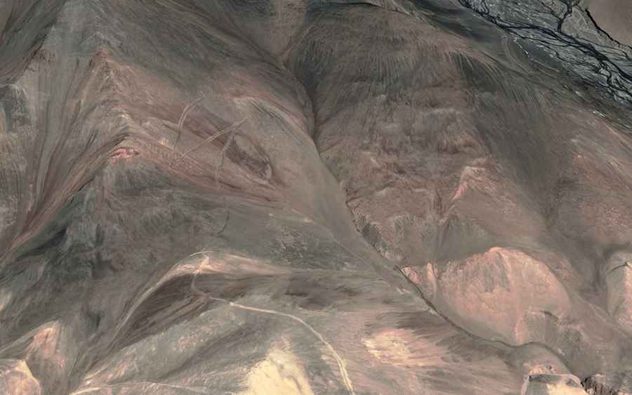
Driving the military road to Mankogh La
Mankogh La is a high mountain pass at an elevation of 5,197m (17,050ft) above sea level, located in the Ladakh union territory of India, near the Line of Actual Control with China. It’s one of the highest roads in the country.
How long is the road to Mankogh La?
Set high in the Karakoram Range, the road to the pass is totally unpaved. A 4x4 vehicle is required. The road is about 20km (12.42 miles) long, starting from Tsogstsalu. North of the pass, the road leads to an unnamed peak, ending at 5,393m (17,693ft) above sea level.
Can I drive to Mankogh La?
The road to the pass is restricted. The area is closed to civilians and foreigners, and access is tightly controlled by both Chinese and Indian authorities. Near the summit, there are numerous government installations, including barracks and outposts.