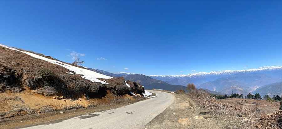
Driving the paved road to Mandala Top in Arunachal Pradesh
Mandala Top is a high mountain pass at an elevation of 3,220m (10,564ft) above sea level, located in the state of Arunachal Pradesh in India.
How long is the road to Mandala Top?
Set high in the Himalayas, west of Bomdi La, the road to the summit, also known as Manda La, is fully paved. It spans 87.4 km (54.30 miles), running north-south from Dirang to Shergaon.
Is the road to Mandala Top challenging?
Boasting steep sections, narrow stretches, and countless hairpin turns, this road can pose significant challenges, especially for novice drivers. Typically, the road becomes impassable from December to February due to snow.
Why is Mandala Top famous for?
The drive offers breathtaking vistas of the region. As one ascends, the landscape reveals dramatic towering mountains in every direction. The summit is adorned with prayer flags and is particularly renowned for its series of 108 Buddhist stupas built in concentric circles. Each stupa is inscribed with the words 'Om Mani Padme Hum'.
Pic: Syed N