A very treacherous journey to Lungmar La
Lungmar La is a high mountain pass at an elevation of 5.776m (18,950ft) above sea level, located on the Chinese-Indian border. It's one of the highest motorable roads in the world.
Where is Lungmar La?
The pass, known as Kongra La in some maps, links Kamba County (a county of Xigazê in the Tibet Autonomous Region of China) and North Sikkim (a district of the Indian state of Sikkim).
Is there a road to Lungmar La?
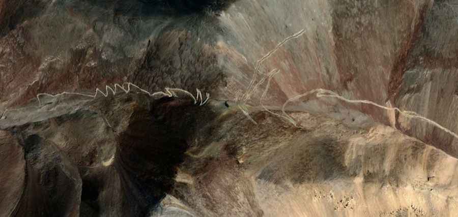
There is a road on both sides of the border but they don’t meet at the summit. Both roads are totally unpaved and a 4x4 vehicle with high clearance is required.
How long is the road to Lungmar La?
Chinese Side: Starting from Khamba, the road to the summit is 18.6 km long. Over this distance, the elevation gain is 1143m and the average gradient is 6.14%.
Indian Side: Starting from Bamzey, the road to the summit is 33.7 km long. Over this distance, the elevation gain is 1871m and the average gradient is 5.55%. The surface is a little more than natural rocky mountain terrain and gets incredibly steep and inaccessible as you drive along. It’s one of the highest roads in the country.
Can I drive to Lungmar La?
This is a high-security border zone with restricted access. To drive up to the pass, you need special clearance from the Sikkim police and Indian military, or the Chinese armed forces depending on your approach. Getting these documents approved is extremely difficult for tourists and non-locals.
Is the road to Lungmar La open in winters?
Set high in the Dongkya Range of the Great Himalaya Range, accessibility is largely limited to the short summer season, as the pass is blocked by deep snow for most of the year.
Road suggested by: Hugh Wilson