The road to Chocho Kuri La is not for the faint of heart
Chocho Kuri La is a high mountain pass at an elevation of 3.995m (13,106ft) above the sea level, located in the Leh district, in the Indian union territory of Ladakh.
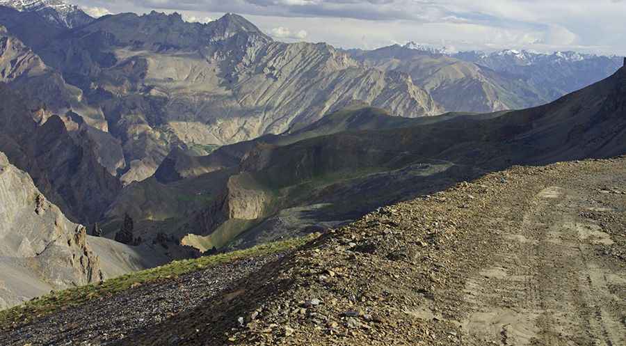
The winding road to the summit, also known as Chochogori La, is totally unpaved with plenty of switchbacks. 4x4 vehicle required due the conditions of the road and its steepness. The pass is 12.9 km (8.01 mile) long, running south-north from Nerak to Yulchung. The road to the summit was constructed in 2019 and finished in 2020. It’s very rocky with deep potholes.
Nestled in the Zanskar mountain range, the climb is very steep. Starting from the Shamsher Singh bridge (across Zanskar river), the ascent is 4,9 km long. Over this distance the elevation gain is 677m. The average gradient is 13,8%. Accessibility is largely limited to the summer season. Facilities like electricity, medical aid, hot running water, western toilets etc. are rare to find.
Road suggested by: jorge manuel gómez sánchez
Pic: Philippe SABY