An Explorer's Guide to the Mayudia Pass
Mayudia Pass is a high mountain pass at an elevation of 2.645m (8,677ft) above the sea level, located in the Indian state of Arunachal Pradesh.
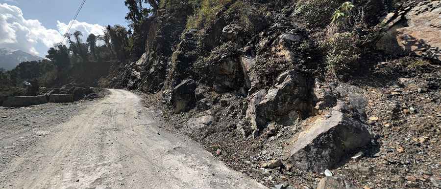
The road to the summit, also known as Mayuda Pass and Mayodiya Pass is mostly unpaved. It’s called NH-313. Most of the time, the pass may be traversed by passenger vehicles. Mayodia is a Deori-Chutia word: "Mayo" means "mother goddess", "Di" means "water" and "Ya" means "land".
Located within the Dibang Valley, the pass is 176km long running south-north from Roing to Etalin, a small village. The drive crosses wild nature, countless bridges, and bends over bends. Heavy snowfalls can happen any time.
Road suggested by: Jorge Manuel Gómez Sánchez
Pic: Sebastian Kamenz