Driving the wild Road to Ma La
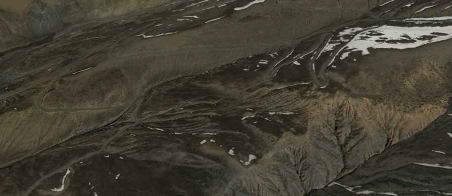
Ma La is a high mountain pass located in Nyalam County, within the Tibet Autonomous Region of China. Situated on the vast Tibetan Plateau, this road connects the town of Gyirong with the stunning Paiku Co lake. It is a remote high-altitude driving route that demands full concentration and a capable vehicle.
| Road facts: Ma La | |
|---|---|
| Location | Nyalam County, Tibet (China) |
| Length | 17.5 km (10.8 miles) |
| Elevation Gain | 1,752 m |
| Avg. Gradient | 10% |
| Hairpin Turns | 32 |
| Hazard Level | Very High (Altitude & Steepness) |
Is the road to Ma La paved?
No, the road to the summit is entirely unpaved. Drivers will face a challenging gravel surface that becomes increasingly difficult depending on weather conditions. Due to its extreme elevation at 5,245m (17,208ft) above sea level, the road is subject to heavy winter snowfalls and can be closed at any time if the path is not cleared.
How many hairpin turns are on the road to Ma La?
The ascent is famous for its 32 sharp hairpin turns. This section requires precise driving as the track twists constantly—up, down, right, and left. The combination of steep gradients and loose gravel makes it one of the most technical driving stretches in the region, testing the skills of even the most experienced drivers.
What is the maximum gradient of Ma La?
The road starting from Zhongma covers a distance of 17.5 km (10.8 miles) to reach the summit. With an elevation gain of 1,752 meters, the average gradient stands at a staggering 10%. This sustained steepness, combined with the notorious lack of oxygen at such high altitudes, significantly affects both human organisms and engine combustion. Most travelers will feel the effects of altitude sickness long before reaching the highest point.