Travel guide to the top of Kǒng Táng Lā
Kǒng Táng Lā is a high mountain pass at an elevation of 5.251m (17,227ft) above the sea level, located in Nyalam County of China’s Tibet autonomous region.
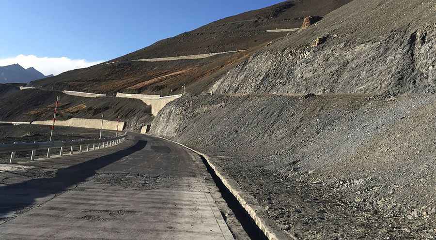
Set high in the Tibetan Plateau, the road to the summit is paved but very steep. Its many twists (32 hairpin turns) can pose a challenge to even the most experienced drivers. The road is not easy, though. Up, down, right, left all the time. The summit is bypassed by a tunnel. It is subject to winter snowfalls with such a high summit altitude, and can be closed anytime when the access is not cleared of snow.
Notorius lack of oxygen that tests the organisms and a high degree of steepness. Most people feel altitude sickness at around 2,500-2,800 meters. Extremely low oxygen for engine combustion. The pass sits on the road from Gyirong to Paiku Co lake.
Pic: p. pc高手