Driving the Chamkang Pass: One of the World's Highest Roads
Chamkang is a high mountain pass at an elevation of 5,953 meters (19,530 feet) above sea level, located on the border between Xinjiang and Tibet in China. It is probably the world's highest motorable road.
Why Was the Road Through Chamkang Built?
Though India claimed the Chamkang pass, it came under Chinese control after the 1962 war. The People's Liberation Army of China built this road to connect border posts Kongkashankou (34°19'37"N 79°06'43"E) and Wenquan/Hot Spring (34°25'31"N 78°55'18"E). This pass is crucial for military positioning along the Indian border, making it one of China's highest roads.
How Remote Is the Road Through Chamkang?
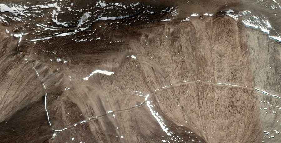
Driving through Chamkang is very challenging. The route crosses uninhabited territories that were once conflict zones, requiring thorough preparation. Limited traffic and no cell service in certain areas mean breakdowns can be difficult to manage.
Is the Road Through Chamkang Open?
The military controls this area, restricting access for non-residents. The high altitude causes rapid weather changes and strong winds year-round. Even in summer, snow is possible, and winter is extremely harsh with low temperatures. Road conditions are unpredictable, with a constant risk of ice and snow.
Is the Road Through Chamkang Challenging?
This drive is not for the faint-hearted or those with health issues. The thin air at high altitudes can cause respiratory problems, and the lower oxygen levels can affect both people and vehicle engines. While the Chamkang pass offers unique experiences and stunning views, it's important to understand the risks and prepare adequately.
Road suggested by: Vroom