How to drive the military road to Karakoram Pass?
The Karakoram Pass is one of the highest motorable points on the border between China and India, reaching an elevation of 5,542m (18,182ft). Located in the Karakoram Range, it connects the Xinjiang region with the Ladakh sector. Logistically, this is not a public road; it is a restricted military corridor. While the Chinese side is serviced by the Hashen Highway, the Indian side relies on the high-altitude DS-DBO Road, a technical track that ends near the Daulat Beg Oldie military base, just south of the pass. It's one of the highest roads in the country.
| Road facts: Karakoram Pass | |
|---|---|
| Location | Border China (Xinjiang) - India (Ladakh) |
| Elevation | 5,542m (18,182ft) |
| Access | Strictly Military (Restricted Zone) |
| Primary Indian Route | DS-DBO Road (255 km) |
| Vehicle Requirement | Heavy-duty 4x4 / Multi-axle military trucks |
What is the road condition to Karakoram Pass on the Chinese side?
On the Chinese side, the approach to the pass follows the Hashen Highway. Most of this route is paved or reinforced to support heavy military convoys moving between the Tarim Basin and the border outposts. The surface is subject to extreme frost heave, which creates cracks and uneven sections in the asphalt. Driving here requires managing engine cooling at over 5,000 meters, where the low air pressure reduces the boiling point of liquids. The "Black Gravel" terrain that gives the pass its name means the unpaved shoulders are unstable and can easily cause a vehicle to slide if you leave the main track.
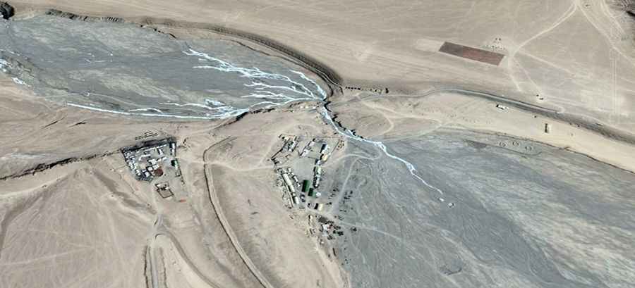
The logistics of the DS-DBO Road on the Indian side
From the Indian side, reaching the area of the Karakoram Pass requires transiting the Durbuk-Shyok-Daulat Beg Oldie (DS-DBO) Road. This 255 km track is a logistical nightmare; it crosses several high passes and the Shyok River, which can wash out sections of the road during the summer melt. The road ends at Daulat Beg Oldie, the world's highest airstrip, and the final stretch to the Karakoram Pass summit consists of unmarked glacial tracks. There is zero civilian traffic allowed, and the logistics of fuel and mechanical support are entirely handled by the Indian Army's Border Roads Organization (BRO).
Mechanical and physiological hazards at 5,542 meters
Driving at 5,542 meters is a high-risk operation. The lack of oxygen means any internal combustion engine will lose roughly 50-60% of its sea-level power. For the driver, the risk of hypoxia is constant; decision-making is slower and physical exhaustion happens quickly. The pass is notorious for high-velocity winds that can flip light vehicles or blow debris across the track. The road is impassable from September to June due to heavy snow and temperatures that drop below -40°C. In the summer, meltwater from glaciers can wash out sections of the track, making it unpredictable even for experienced military drivers.
Why is the Karakoram Pass closed to civilians?
Logistically, the Karakoram Pass is a dead-end for civilians due to its location on the Line of Actual Control (LAC). Historically, it was a key part of the Silk Road, but today it is purely a strategic military point. There are no facilities—no electricity, no water, and no medical aid—for hundreds of kilometers. If you are authorized to transit, you must be 100% self-sufficient, carrying enough fuel, oxygen, and supplies to survive a breakdown in one of the most isolated environments on the planet. The ground is littered with the bones of pack animals from the ancient trade era, a clear indicator of how hostile this altitude is for any form of life.