How to drive the military road to the summit of Ane La?
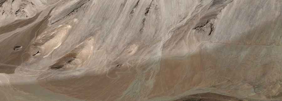
Ane La is an international high mountain pass at an elevation of 5,370m (17,618ft) above sea level, located on the China-India border. It’s one of the highest roads in the country.
Where is Ane La?
The pass, also known as Rezan La, links China’s Tibet Autonomous Region and northern India’s Jammu and Kashmir state.
Is Ane La unpaved?
Set high in the Chang-Chemno mountain range, the road through the pass is totally unpaved. 4x4 vehicles only. It’s called Ane Pass Road. It is narrow, steep, and heavily used by military vehicles.
How long is the road through Ane La?
The road is extremely remote. It’s about 175 km (108 miles) long, running west–east from Phobrang (the last village of Ladakh in this direction, in the Leh district) to Recho (in China).