How to drive the 705 County Road (X705) in Tibet?
The 705 County Road (X705) is a high-altitude mountain highway located in Zanda County, Ngari Prefecture, Tibet Autonomous Region, China. The route has a total length of 114 km, with a continuous 60-kilometer sector that runs entirely above an elevation of 4,000 meters.
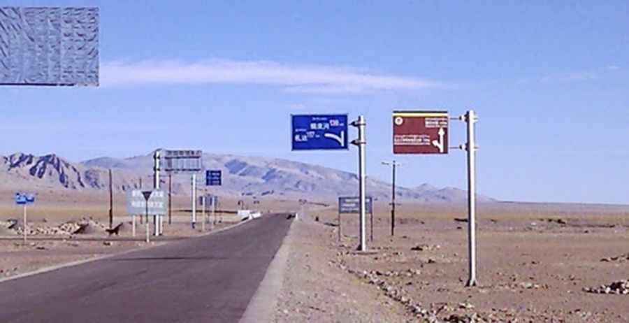
| Road facts: 705 County Road (X705) | |
|---|---|
| Location | Zanda County, Ngari, Tibet, China |
| Total Length | 114 km (71 miles) |
| Sector above 4,000m | 60 km (37.2 miles) |
| Max Elevation | 5,160 m (16,929 ft) at Longga La |
| Surface | Paved / Asphalt |
How long is the 705 County Road (X705)?
The total length of the road is 114 km (71 miles), running in an east-west alignment. The track connects the 219 National Road (G219) junction with the valley town of Zanda. Out of the 114 kilometers of total route, a section of about 60 km maintains a constant elevation profile above the 4,000-meter mark.
Is the 705 County Road (X705) paved?
The 114-kilometer highway is entirely paved with asphalt. While the surface allows the passage of passenger cars, the main physical constraint is the elevation layout, as the asphalt climbs until it reaches 5,160m (16,929ft) above sea level at the Longga La pass summit. The lanes are narrow, with dirt and unpaved gravel shoulders that drop off directly into the mountain cuts without concrete safety barriers.
Is the 705 County Road (X705) open in winter?
Along the 60-kilometer high sector, winter weather between November and March deposits heavy snow accumulation across the asphalt lanes. Freezing air creates black ice sheets on the shaded mountain switchbacks. Internal combustion engines face torque reduction during the steep climbs to the 5,160-meter summit due to low atmospheric pressure. The mountain pass lacks roadside assistance, emergency shelters, or fuel stations between the G219 junction and Zanda.
Pic: budd Liu