Driving the unpaved X701 road to Lawoche La in Tibet
The X701 County Road is an extreme high-altitude unpaved route located in the Ngari Prefecture of the Tibet Autonomous Region, in China. Running for 425 kilometers (264 miles), the single-lane mountain track reaches its highest point at the Lawoche La pass, topping out at an elevation of 5,387 meters (17,673 ft) above sea level, making it one of the highest mountain roads of China.
| Road facts: X701 & Lawoche La | |
|---|---|
| Location | Ngari Prefecture, Tibet (China) |
| Max Elevation | 5,387 m (17,673 ft) - Lawoche La |
| Length | 425 km (264 miles) |
| Surface | Unpaved (Gravel, dirt, and mud) |
Where is the X701 road located?
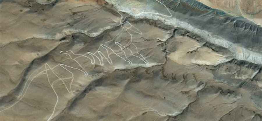
The X701 runs east-west, branching off the paved China National Highway 219 (G219) and extending toward the remote settlement of Diyaxiang. The long mountain route serves as an isolated connection through the high-altitude desert plateaus between Namru and Tielong, keeping the majority of its 425-kilometer trackbed consistently above the 5,000-meter altitude mark as it crosses the Lawoche La summit crest.
What are the driving hazards on the Lawoche La pass?
The entire 425-kilometer path is completely unpaved, consisting of a raw earth base filled with loose rocks, jagged gravel shards, and deep dirt ruts. The single-lane road climbs via steep, unprotected shelf sections cut directly into the mountain flanks with zero lateral safety barriers or guardrails. A high-clearance 4x4 vehicle with a low-range transfer case is required to climb the steep ramps without losing traction, especially since the 5,387-meter altitude drops air density and drastically cuts engine power output.
Is the X701 road open in winter?
Due to its extreme altitude on the northern Tibetan highlands, the pass faces severe Arctic weather and is completely blocked by deep snowdrifts and solid ice fields from September until late June, remaining entirely impassable. The remote county road receives no winter clearance or maintenance services. During the short summer months of July and August, sudden high-altitude rainstorms and melting ice transform the dirt sections into slick, deep mud traps that stall progress across the mountain sectors.