How to drive the unpaved road to Spanggur Gap?
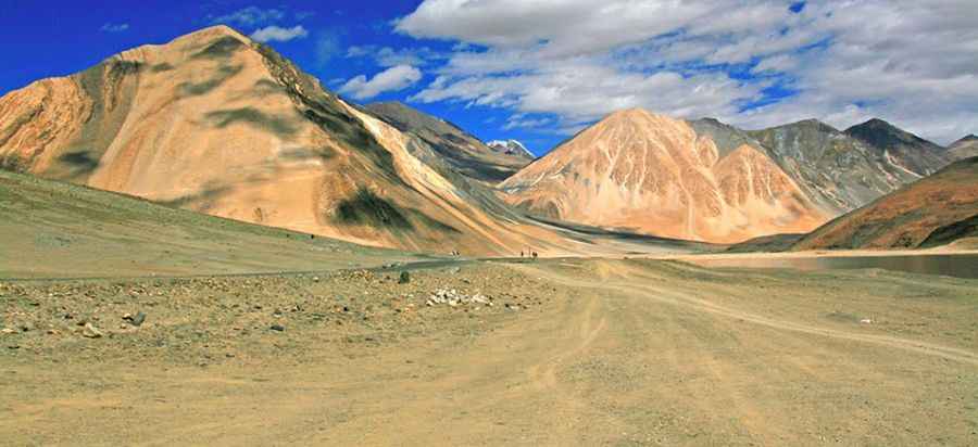
Spanggur Gap is an international mountain pass at an elevation of 4,308m (14,133ft) above sea level, situated on the Line of Actual Control (LAC) between India (Ladakh) and China (Tibet). This strategic gap in the mountains is a critical mountain road, located just west of Spanggur Lake. The 20 km unpaved road connecting Chushul to Jieso Gongma serves as a high-altitude transit route, requiring specialized vehicle preparation due to the extreme thin air and volatile terrain conditions.
| Road facts: Spanggur Gap | |
|---|---|
| Location | India-China border (LAC) |
| Elevation | 4,308 m (14,133 ft) |
| Length | 20 km (12.4 miles) |
| Surface | Unpaved / Military grade gravel |
| Hazard Level | Extreme (Geopolitical and Climatic) |
What is the driving capacity of the Spanggur Gap road?
The road through Spanggur Gap was engineered to support heavy mechanized divisions. Since the 1962 conflict, the surface has been maintained to carry main battle tanks and heavy armored personnel carriers. The 20 km track is wide enough for large-scale transport, but the unpaved surface means that ground pressure management is vital. For standard vehicles, the road presents a high-vibration environment that can lead to structural chassis fatigue. Maintaining a 4x4 configuration with locking differentials is a technical requirement to navigate the loose scree and alluvial deposits that characterize the pass floor.
How does the 4,308m altitude affect engines on Spanggur Gap?
At an elevation of 4,308 meters, the atmospheric pressure is significantly lower than at sea level, resulting in a 30-40% loss of engine horsepower. On the Spanggur Gap road, this requires using turbocharged engines with efficient intercoolers to maintain the necessary torque for heavy climbing. Drivers must monitor the air-fuel ratio closely, as "rich" running conditions can lead to carbon buildup and rapid exhaust gas temperature (EGT) increases. In this thin air, cooling systems are less efficient, making it a mandatory protocol to monitor radiator pressures during sustained low-speed maneuvers between Chushul and Jieso Gongma.
What are the winter hazards and closure protocols for Spanggur Gap?
The Spanggur Gap road is impassable during the winter months. Heavy snowfall combined with sub-zero temperatures (reaching -40°C) results in total route closure. Even during the operational window, the ground is subject to permafrost shifts, which can create sudden "frost heaves" that damage vehicle suspensions. Any transit must be equipped with cold-weather starting aids, Arctic-grade diesel (to prevent fuel waxing), and redundant heating systems. The proximity to Spanggur Lake also creates localized fog and icing conditions on the road, reducing visibility to near-zero levels in a matter of minutes.
How has military history shaped the Spanggur Gap road?
The current state of the Spanggur Gap road is a direct result of the 1962 border war. Originally an area with Indian defensive posts, the strategic withdrawal to Chushul shifted the focus to the village's defense. Today, the road from Rudok in Tibet right up to the gap highlights a permanent military infrastructure effort. This is not a standard tourist road; it is a high-security militarized zone where the "road" is actually a tactical line of communication. Any transit in this sector requires specialized permits and is subject to immediate closure based on the current operational status. Drivers must be prepared for total isolation with no civilian support available for hundreds of kilometers.
Pic: http://whereongoogleearth.net/2015/04/