How to drive the paved Tai Tam Road?
Tai Tam Road is a very scenic drive located in the eastern part of Hong Kong Island, Hong Kong.
How long is Tai Tam Road?
The road is 8.3 km long, linking the Quarry Bay business district on the northern side of the island to the southern coast (connecting to Stanley, Repulse Bay, and beyond).
Is Tai Tam Road paved?
The road is entirely paved, carved through solid granite with steep rockfaces on both sides. Because it was cut out of the mountainside long before modern traffic demands, navigating its narrowest sections alongside massive double-decker buses and tourist coaches can be harrowing. The road also carries a well-deserved reputation for landslide risks during heavy rainfall.
How busy is Tai Tam Road?
Located within Tai Tam Country Park, the road is framed by scenic peaks such as Mount Butler and Jardine's Lookout. It experiences heavy traffic on weekends and public holidays.
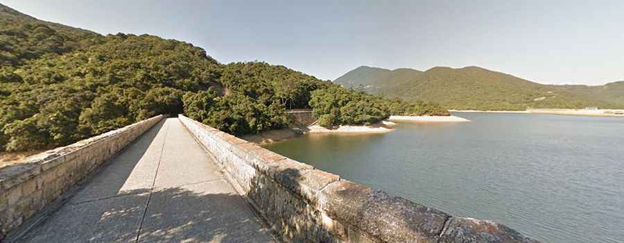
How to drive Tai Tam Road across the Tai Tam Tuk Reservoir Dam?
The most challenging section of the drive is crossing the historic Tai Tam Tuk Reservoir Dam. Built in 1912 by the British colonial government, this narrow, single-lane section is impassable for two heavy vehicles simultaneously. Local drivers often call the 5-metre-wide dam section the "ultimate driver's test."