Road Trip Guide: Conquering Kamba La in Tibet
Kamba La is a high mountain pass at an elevation of 4,852 m (15,915 ft) above sea level, located in the Tibet Autonomous Region, People's Republic of China. Do not take this drive if you have respiratory problems or any type of heart condition.
Where is Kamba La?
The pass, also known as Khamba La or Gampa La, is located in the Shannan Region and connects the Yarlung Tsangpo Valley with the holy Yamdrok Yumtso area. It is one of the most beautiful mountain passes in Tibet, offering the best views around.
What’s at the Summit of Kamba La?
At the summit, a parking lot offers great views of Yamdrok Lake (or Blue Lake), Tibet's largest freshwater lake. This lake is one of the four holiest lakes of Tibet and the home of wrathful deities. Along the way, you get closer to the lake, which features jaw-dropping beauty. There are also photo opportunities with yaks and Tibetan mastiffs for a small fee (seasonal). Masses of colorful prayer flags festoon the pass. In the distance beyond the lake, you get a fantastic view of the glaciated peak of Nojin Kangtsang, rising to 7,191 m (23,593 ft).
How Long is the Road Through Kamba La?
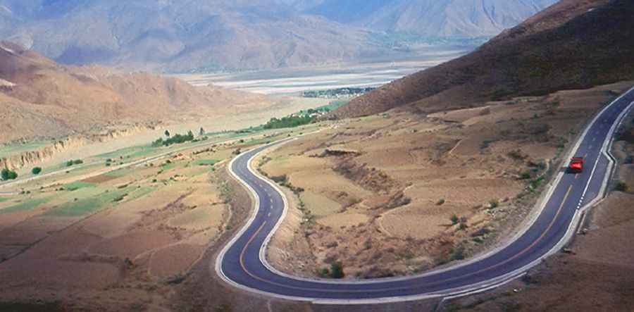
The road to the summit is fully paved. It is called Provincial Road 307, known as the Southern Friendship Highway. The road is never very steep, but it is long and continuous. It was recently paved and is full of tourist buses. The oxygen levels are extremely low for engine combustion. The pass is 70.2 km (43.62 miles) long, running north-south from Qüxü to Baidi.
Pic: By B_cool from SIN, Singapore (Kambala pass) [CC BY 2.0 (https://creativecommons.org/licenses/by/2.0)], via Wikimedia Commons