How to drive the unpaved 4x4 road to Chuka La in Tibet?
Chuka La is a high-mountain pass at an elevation of 5,318m (17,447ft) above sea level, located in Zhongba County, within the Shigatse Prefecture of the Tibet Autonomous Region, in China.
Where is Chuka La?
The pass, also known as Quka La, is located in Zhongba County near Palong Cuo Lake in western Tibet, on the eastern shore of Palong Cuo Lake.
How long is the road through Chuka La?
The road through the pass is 17.1 km long, running from Penzhang to Qiongba across the high desert terrain of the Godong Gangri range.
How challenging is the road through Chuka La?
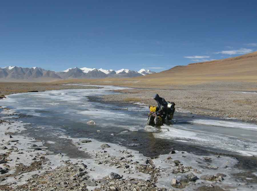
The road is totally unpaved, with crushed stone, loose gravel, and deep sand patches. A 4x4 vehicle with high clearance is required. Be careful about the severe altitude sickness (AMS), extreme isolation with no cell service or roadside assistance for hundreds of kilometers, and sudden high-altitude blizzards that can hit even during summer months.
Is the road through Chuka La open year-round?
Set high in the Godong Gangri range, at this elevation it’s one of the highest mountain passes in western China. It’s usually impassable from October through June. Summer permafrost thaw creates soft mud traps along the track, while winter snow leaves the pass completely impassable.
Road suggested by: Hugh Wilson
Pic: Juntao JIANG