How to drive the paved road to Kenko La in Chamdo?
Kenko La is a high mountain pass at an elevation of 4,616 meters (15,144 ft) above sea level, located in Lhorong County, Chamdo, within the Tibet Autonomous Region of China.
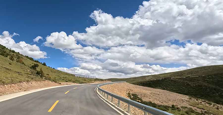
| Road facts: Kenko La | |
|---|---|
| Location | Chamdo, Tibet (China) |
| Elevation | 4,616 m (15,144 ft) |
| Length | 7.4 km (4.6 miles) |
| Surface | Paved |
Where is Kenko La?
The pass, also known as Kenke La, is located south of Provincial Road 303 (S303) in Lhorong County of Chamdo, in the southern part of the country.
Is the road through Kenko La paved?
The road through the pass was fully paved in the 2020s. The surface is in very good condition, though the drive comprises very steep sections and many curves, with a few of them being sharp hairpin turns.
How long is the road through Kenko La?
The road through the pass is 7.4 kilometers (4.6 miles) long, running west-east from Duo Liequzao to Xiari Rangyong.
Is the road through Kenko La open year-round?
Set high in the eastern Tibetan Plateau, the road is usually open year-round, though at this elevation the pass receives heavy snowfalls in the winter and short-term closures are common.
Road suggested by: Hugh Wilson
Pic&video: Walk China - Driving Channel