How to drive the unpaved road to Riong La
Riong La is a high mountain pass at an elevation of 5.153m (16,906ft) above sea level, located in the Tibet Autonomous Region of China.
Where is Riong La?
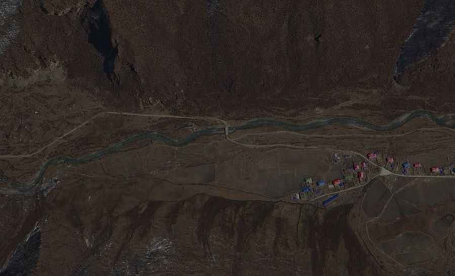
The pass is located on the boundary of Lhari County within the prefecture-level city of Nagqu and Gongbo'gyamda County of Nyingchi City. The area is very remote.
Is the road to Riong La unpaved?
The road to the summit is totally unpaved. 4x4 vehicles only. The road is very steep, hitting an 11% of maximum gradient through some of the ramps.
How long is the road to Riong La?
The pass is 70.4km (43.74 miles) long, running north-south from Codoi Township to the paved Linla Highway. To drive the road without stopping will take most people between 3 and 4 hours.
Is the road to Riong La open year-round?
Set high in the Nyainqêntanglha Shan range, this road is usually impassable from late October through late June or early July due to heavy snowfalls.
Road suggested by: Hugh Wilson