How long is the unpaved road to Kaichisa La?
Kaichisa La is a high mountain pass at an elevation of 3,620m (11,876ft) above sea level, situated on the border between Myanmar and China. The road is a rugged 48.7 km mountain track that connects Shingkawng in Myanmar with Road Duli in China's Yunnan province.
| Road facts: Kaichisa La | |
|---|---|
| Location | Myanmar-China Border (Yunnan) |
| Elevation | 3,620 m (11,876 ft) |
| Length | 48.7 km (30.2 miles) |
| Elevation Gain/Loss | +1,589 m / -2,812 m |
How is the road to Kaichisa La?
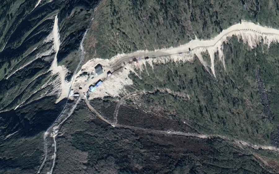
The 48.7 km road is entirely unpaved and carved directly into the steep mountainsides. It is extremely narrow, with dozens of tight hairpin turns and hundreds of curves following the natural ridges. The track is used for border transit and reaches Chinese military installations at the summit. A high-clearance 4x4 is required, as the surface is composed of loose dirt, rocks, and deep ruts that can catch the underbody of standard vehicles.
What is the elevation gain on the Kaichisa La road?
The drive is a real test for any vehicle. Running west to east, you climb 1,589 meters from the Myanmar side, but the most brutal part is the descent into China, where the road drops 2,812 meters toward Road Duli.
What are the hazards of driving to Kaichisa La?
The main hazard is the lack of protection against 2,000-meter drops. There are no guardrails, and the shoulders of the road are often unstable and prone to crumbling. Landslides are common, especially after heavy rains, which can leave you stranded in one of the most isolated border areas in Asia. At the summit, you are likely to encounter military checks, and the area is strictly monitored. There are no services, no fuel, and no mechanical aid for the entire 48.7 km stretch, meaning any breakdown requires self-recovery gear.
Is Kaichisa La open year-round?
Snow and ice block the 3,620m summit during the winter months, and the monsoon season turns the dirt track into a lethal mud slide. The best window for driving is late spring or autumn when the ground is most stable. Even in the dry season, thick clouds often cover the pass, reducing visibility to a few meters and making the narrow turns even more dangerous.
Road suggested by: Hugh Wilson