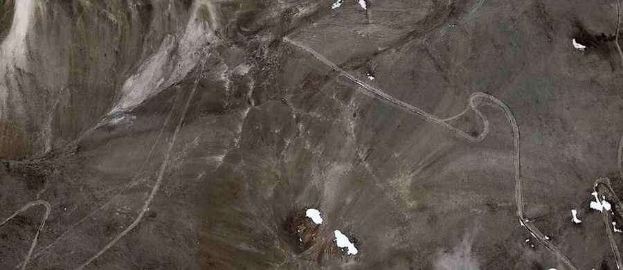
How to drive the unpaved road to Naktse La?
Naktse La is a high mountain pass at an elevation of 5,533m (18,152ft) above sea level, located in the Ngari Prefecture of Tibet. Set high in the Himalayas, it’s one of the highest roads in the country.
Where is the Naktse La pass located?
Naktse La is situated in the southern part of the Ngari Prefecture in China's Tibet Autonomous Region. It is a key high-point on the X716 County Road, located in a very isolated and little-visited area of the Tibetan plateau.
Is the road to Naktse La paved?
No, the road to the summit is entirely unpaved. It consists of a rough gravel and dirt track that demands high concentration. Due to the loose surface and the extreme altitude, a 4x4 vehicle is mandatory for anyone attempting to cross this pass.
How long is the ascent to Naktse La?
Starting from Yarexiang, the drive to the summit is 36.4 km long. Over this distance, the road gains 711 meters of elevation. The climb is steady but becomes difficult due to the thin air and the notorious absence of oxygen at over 5,000 meters.
What is the maximum gradient of the Naktse La road?
The road is quite steep in several sections, with a maximum gradient reaching 12%. Driving on these inclines at such extreme altitudes tests the power of any engine, as vehicles lose significant performance in the thin atmosphere.
When is Naktse La accessible for driving?
Accessibility is largely limited to the summer months. During the rest of the year, extreme winter weather and heavy snow make the pass completely impassable. Even in summer, travelers should be prepared for freezing temperatures and sudden storms.
Road suggested by: Hugh Wilson