How to drive the unpaved road to Zǔsōng La in the Gangdise Mountains?
Zǔsōng La is a high mountain pass at an elevation of 5,775m (18,946ft) above sea level, located in Coqên County, Tibet. It’s one of the highest roads in the world.
Where is Zǔsōng La?
The pass, also known as Ouerji La, is located in the southwestern part of the country.
Is the road to Zǔsōng La unpaved?
The road to the summit is totally unpaved (with silt and rock). It is one of the highest roads of China.
How demanding is the road to Zǔsōng La?
The road to the summit is 87 km long starting from Debuzhao Ema. Over this distance, the elevation gain is 1,652 meters and features ramps with a 10% gradient where traction is difficult to maintain on the loose ground. At 5,775m, the atmospheric pressure is less than half of that at sea level, causing a severe drop in engine torque.
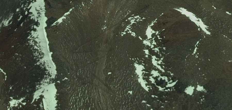
How remote is the road to Zǔsōng La?
The road ends near isolated lakes where the track consists of fine glacial silt. This surface becomes impassable when wet or during winter snowfalls, leading to vehicle immobilization. There is zero infrastructure or fuel points in the Gangdise range, meaning you must carry enough auxiliary fuel for the entire drive. The isolation is total, and the lack of passing traffic means any mechanical failure requires self-sufficient recovery.
Is the road to Zǔsōng La open year-round?
Set high in the Gangdise Mountains, at this elevation the road is totally impassable in winters.
Road suggested by: jorge manuel gómez sánchez