How to drive the unpaved road to Bayi Daban in the Kunlun Mountains?
Bayi Daban is a high mountain pass at an elevation of 5,366m (17,604ft) above sea level, located in Tibet.
Where is Bayi Daban?
The pass, also known as Lingkyithang La, is located on the boundary between Xinjiang and the Ngari Prefecture.
How long is the road to Bayi Daban?
The road through the pass is 50.6 km long, running from the G219 National Highway to the Salikyila Genzhi Tso lake area.
Is the road to Bayi Daban unpaved?
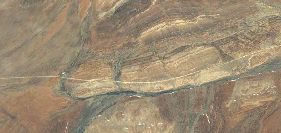
The road to the summit is totally unpaved and crosses a high-altitude desert plateau. Although the track is mostly straight, the surface consists of soft dirt, sand, and crushed rock with no maintenance.
How remote is the road to Bayi Daban?
A high-clearance 4x4 is required, as there is zero infrastructure, water, or electricity for the entire road. You must carry extra fuel, as consumption can double when driving through soft sand at more than 5,300 meters of elevation. The isolation is total; a mechanical failure such as a broken axle or a punctured tire is a major risk because no recovery services exist.
What’s the weather like at the Kunlun Mountains?
The primary hazard is the combination of extreme altitude and unpredictable weather. Even in summer, nighttime temperatures drop below -20°C, and sudden blizzards can bury the track in minutes.
Road suggested by: Hugh Wilson