How to drive the desert track to Karatagh La?
Karatagh La is a high mountain pass at an elevation of 5,473m (17,956ft) above sea level, located in the Aksai Chin region of Tibet.
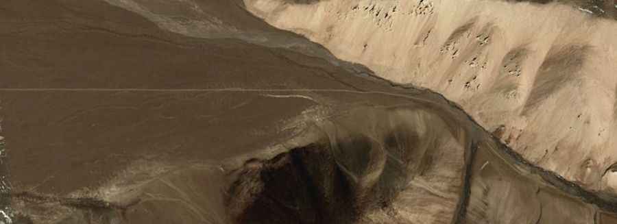
Is the road to Karatagh La unpaved?
The road to the summit is totally unpaved, with silt and loose rocks. The surface is a mix of hard dirt, loose shale, and deep silt beds that can stop a vehicle if it loses speed. A high-clearance 4x4 is required to carry the fuel reserves needed for the drive.
How long is the road to Karatagh La?
The road through the pass is 246 km long, running from Oufu Jilega to the China National Highway G219. It is a military route where the altitude and the 246 km of total isolation are the main hazards.
How remote is the drive to Karatagh La?
With zero services or fuel stations along the way, at 5,473 meters, the oxygen level is half of that at sea level, causing a massive drop in the engine torque. Bring multiple full-sized spare tires; the jagged shale and extreme cold make rubber brittle and prone to catastrophic failure along the 246 km track.
Is the road to Karatagh La open year-round?
Snow and ice block the track completely from October to May. Temperatures in Aksai Chin drop to -40°C in winters. Even in summer, sudden blizzards can turn the dry silt into deep mud.
Road suggested by: Jorge Manuel Gómez Sánchez