How to drive the unpaved and steep road to Dzi La?
Dzi La is a high mountain pass at an elevation of 4,799m (15,744ft) above sea level in Sêrxü County, within the Garzê Tibetan Autonomous Prefecture of Sichuan, China.
Where is Dzi La located?
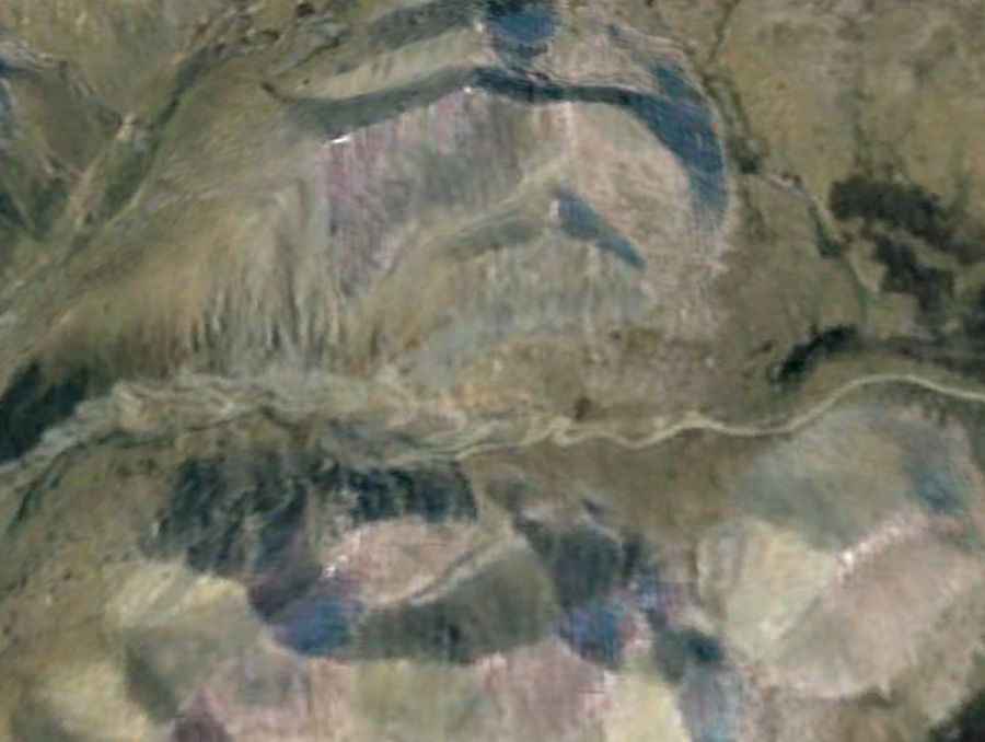
The pass is located in the remote northwestern corner of Sichuan, near the border with Qinghai. It is part of the Ngonkhori mountain range, within the grasslands of Sêrxü County.
Is the road to Dzi La unpaved?
The road through the pass is entirely unpaved, with loose gravel, deep ruts, and rocky debris. It has very steep parts hitting a maximum gradient of 16%. You’ll need a high-clearance 4x4 vehicle. The road is one of the rawest unpaved routes in the Kham region. While the newer S456 road handles the main traffic, the original track remains as a direct yet dangerous ascent.
How long is the road to Dzi La?
The road through the pass is 75.1 km (46.6 miles) long, running north-south from Sêrxü to Luoxuzhen. This area is one of the highest inhabited regions of the Tibetan Plateau, characterized by extreme isolation and a total lack of facilities, workshops, or fuel stations along the entire stretch.
Is the road to Dzi La open in winter?
Set high in the Ngonkhori range, the pass is blocked by heavy snow and ice for the majority of the year. Even in summer, sudden snowstorms or heavy hail can turn the dusty track into a slippery mud trap in minutes. Since the road is now bypassed by the newer S456, maintenance is rare.
Road suggested by: Hugh Wilson