An ancient salt trade route to Nara La
Nara La is a high mountain pass at an elevation of 4.507m (14,786ft) above sea level, located in the Karnali Zone of Nepal.
Where is Nara La?
The pass, also known as Nara Lagna Pass, is located in the far north-western part of the country, near the Chinese border, within the Limi Valley. It’s the last pass in this region of north-west Nepal before China.
Is Nara La worth the drive?
The pass is marked by a seep of stones and strings of colorful Tibetan prayer flags, carrying the prayers far away with the strong wind. You’ll be awarded with picturesque views of valleys and crisp snowcapped Himalayas on the horizon. Along the way, you’ll have the chance to spot the elusive snow leopard, Himalayan blue sheep, jackals, hyenas, and musk deer. Also, one can observe the rare flora and fauna. It can be seen the marmots, wolves, wild horses (kyang), barking deer, and Himalayan black bear.
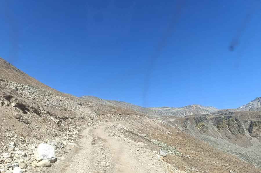
Is the road to Nara La unpaved?
The road through the pass is totally unpaved. It’s called F145 (Hilsa Simikot Sadak). It’s a very defiant drive, with curves, hairpin turns, steep sections, narrow parts, and dangerous drops. A 4x4 vehicle is required.
How long is the road through Nara La?
The road is 36km (22 miles) long, running west-east from Hilsa to Karnali Bridge. It’s an ancient salt trade route. After crossing Nara La, at the western side of the pass is a long steep descent down to Hilsa, close to the border with Tibet.
Pic: suresh subedi