Ljou La: Ascending China's Majestic Mountain Pass in Tibet
Ljou La is a high mountain pass at an elevation of 4.759m (15,613ft) above the sea level, located on the boundary of Baxoi and Riwoqê Counties,Chamdo Prefecture, in the Tibet Autonomous Region of China.
Road Composition: Is Ljou La's Pathway Paved?
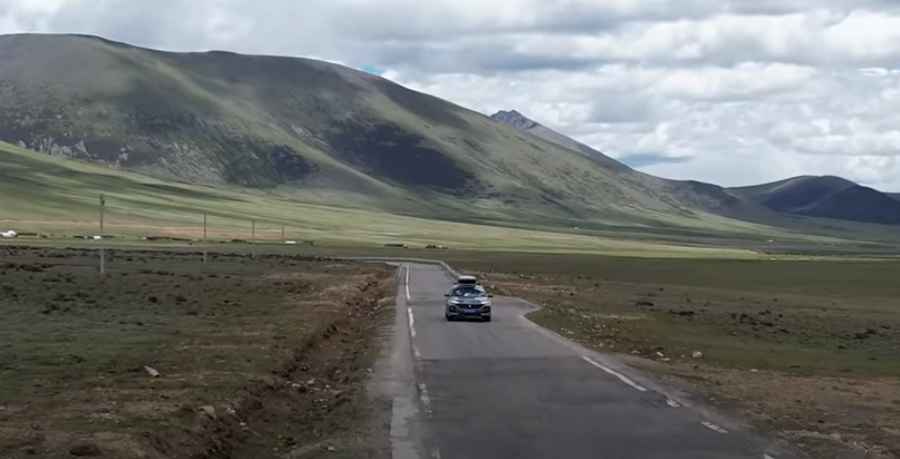
Positioned in the western region of the country, the road predominantly boasts a paved surface. Acting as a convenient shortcut, it links the G214 (situated south of Riwoqê) and the S303 routes. Spanning approximately 56.6 km (35.16 miles), this pass offers an essential connective pathway.
Navigational Challenges: How Difficult is the Ljou La Drive?
Navigating Ljou La can be intricate, marked by its steep gradients, numerous turns, and challenging hairpin bends. Expect a travel time of roughly 3 hours, though it's advisable to allocate additional time for photo stops and regional exploration. Those susceptible to motion sickness might find the journey uncomfortable. Winter seasons introduce an added layer of complexity, as snowfall renders the path both challenging and slippery.
Road suggested by: Hugh Wilson
Pic: 巡游轨迹China travel