How to drive the unpaved road to Maryan Pass in the Kunlun Mountain Range?
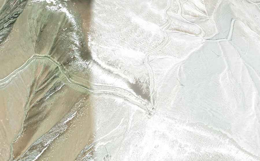
Maryan Pass is a high mountain pass at an elevation of 4,347m (14,261ft) above sea level located in the Taxkorgan Tajik Autonomous County of Kashgar Prefecture in western Xinjiang, in China.
Why is it called Maryan Pass?
The pass is named after the nearby Maeryangxiang village.
What's the Road Condition to Maryan Pass?
The road to the summit remains unpaved, featuring sharp curves and steep inclines that can hit a maximum gradient of 20% in certain stretches.
How Long is the Maryan Pass?
Stretching for 29.5 km (18.33 miles), the pass connects Wenhong in the south to Pagoda Shi'aile in the north.
How dangerous is the Maryan Pass in winters?
Set high in the Kunlun mountain range, travelers should exercise caution, especially those uneasy with heights, as some sections can be challenging to navigate. Moreover, winter brings its set of challenges with snow, rendering the path slippery and tough. Before embarking on the journey, it's crucial to check the weather forecast, given the area's unpredictable conditions.
Road suggested by: Hugh Wilson