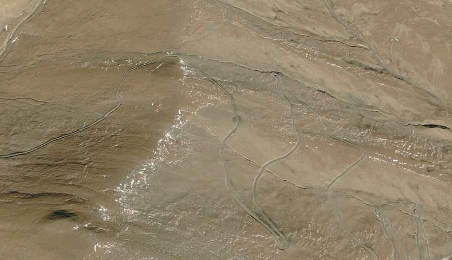
Lugu La: Driving the High-Altitude Track East of Yamzho Yumco
Reaching an elevation of 5,065m (16,617ft) above sea level, Lugu La is a high mountain pass situated on the boundary of Qonggyai and Zhanang counties in the Shannan prefecture of Tibet, China. Located to the east of the Yamzho Yumco lake, the pass serves as a remote crossing through the high-altitude ridges of the Transhimalaya.
| Road facts: Lugu La | |
|---|---|
| Location | Shannan, Tibet, China |
| Elevation | 5,065 m (16,617 ft) |
| Length | 35 km (21.7 miles) |
| Surface | Unpaved / Gravel |
| Starting Point | Luomading |
How long is the road to Lugu La?
The road to the pass spans 35 km (21.7 miles), starting from the settlement of Luomading. It is a strictly unpaved route consisting of loose gravel and high-plateau soil. The track features hundreds of tight turns as it gains significant elevation to reach the 5,065m summit. Due to the lack of maintenance and the technical nature of the hairpins, the average transit speed is very low. A high-clearance 4x4 vehicle is essential to manage the uneven surface and potential washouts along the ridge.
Is the road to Lugu La open in winter?
Due to the extreme altitude, Lugu La is impassable during the winter months. Significant snowfall and ice accumulation on the unpaved surface make traction impossible for standard vehicles. Even in late spring or early autumn, the road can be slippery and difficult to navigate. The weather in this part of the Shannan prefecture is unpredictable, and sudden storms can rapidly degrade the track conditions. There are no safety barriers or road markings along the entire 35 km stretch.
What are the driving hazards at 5,065 meters?
The primary hazards are hypoxia-related engine power loss and total isolation. At over 5,000 meters, internal combustion engines lose approximately 35-40% of their efficiency, which can make the steep climbs and hairpins particularly taxing on the transmission. Drivers must be self-sufficient, as there is no electricity, medical aid, or fuel services along the route. It is critical to monitor for symptoms of Acute Mountain Sickness (AMS) and to ensure the vehicle’s cooling system is in optimal condition to handle the sustained climb in thin air.
Logistical considerations for the Qonggyai-Zhanang route
Before attempting Lugu La, ensure you carry sufficient spare fuel and at least one full-size spare tire. The sharp rocks common on Tibetan high-altitude tracks pose a constant risk of punctures. Communication is limited, and there is virtually no traffic on this road for days at a time. It is highly recommended to travel with satellite communication equipment and to check local weather conditions in Luomading before starting the 35 km ascent toward the pass.
Road suggested by: Hugh Wilson