Hor La: Driving the S202 High Mountain Pass in Tibet
Hor La is a high mountain pass at an elevation of 4,807m (15,771ft) above sea level, located in the Shannan Prefecture of the Tibet Autonomous Region, China.
Where is the Hor La pass located?
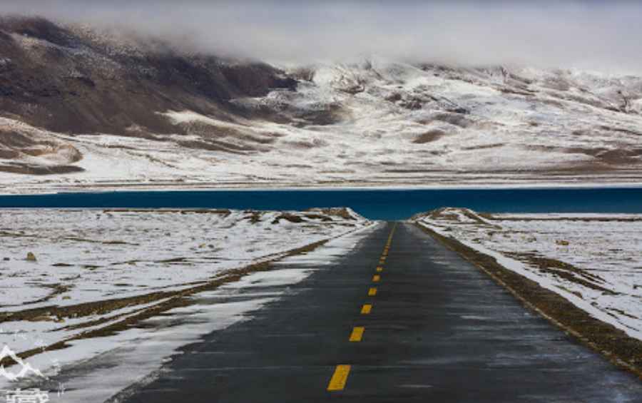
The pass is situated in southeastern Tibet, positioned to the north of the Nariongcua Lake (also known as Na Riyongcuo). It serves as a high-altitude transit point within the Shannan region, connecting remote settlements through the Himalayan terrain.
| Road facts: Hor La | |
|---|---|
| Elevation | 4,807 m (15,771 ft) |
| Road Name | S202 Provincial Road |
| Length | 33.3 km (20.69 miles) |
| Surface | Paved / Asphalt |
How long is the drive through Hor La?
The road segment through the pass extends for 33.3 km (20.69 miles). The route runs between the localities of Niuqu and Zhaxikang. Under normal conditions, the drive takes approximately one hour to complete without stops.
What are the road conditions on the S202?
Unlike many high-altitude passes in the region, the road to Hor La (S202) is entirely paved. It is navigable by all standard passenger vehicles. However, the route features continuous gradients and sharp curves typical of mountainous provincial roads in Tibet.
What precautions are necessary for Hor La?
At an elevation of 4,807 meters, oxygen levels are significantly lower than at sea level. Drivers and passengers should be aware of the risks of Acute Mountain Sickness (AMS). It is recommended to carry supplemental oxygen and ensure proper acclimatization before attempting the climb.
Pic: 全珍珠