Road trip guide: Conquering Kanggar Tzoxe La
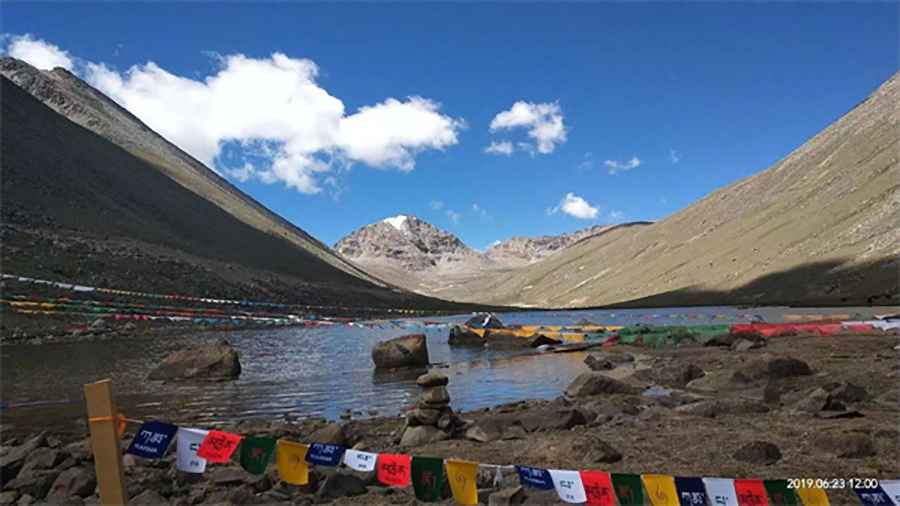
Kanggar Tzoxe La is a high mountain pass at an elevation of 5.613m (18,415ft) above the sea level, located on the border of Tolung Dechen and Qüxü Counties of Lhasa Prefecture, in Tibet, China. It’s one of the highest roads of the country.
Is Kanggar Tzoxe La paved?
Set high on the northern side of the Himalayas, the road to the summit is mostly paved and navigable by all passenger vehicles. It’s only unpaved near the top. At this elevation oxygen levels drop and visitors need to take adequate precautions against AMS (Acute Mountain Sickness). The winding road is extremely curvy, with dozens of sharp hairpin turns. If you’re prone to car sickness, better avoid it.
How long is Kanggar Tzoxe La?
Plan about 2 hours to complete the remarkable drive without stops. Always check the weather forecast before you start your journey: adverse conditions are common. The pass is 86.6 km (53.81 miles) long, running from Lhasa to Qüxü. The drive is steep in parts, hitting a 7% of maximum gradient through some of the ramps.
Road suggested by: Hugh Wilson
Pic&more info: https://zhuanti.mct.gov.cn/mmyghcyt2023/dcxc/detail/5011.html